Uphill
233m

France > Provence-Alpes-Côte d'Azur > Alpes-de-Haute-Provence > Verdon Regional Natural Park
Length
3km
Duration
1h30min
Elev gain
233m
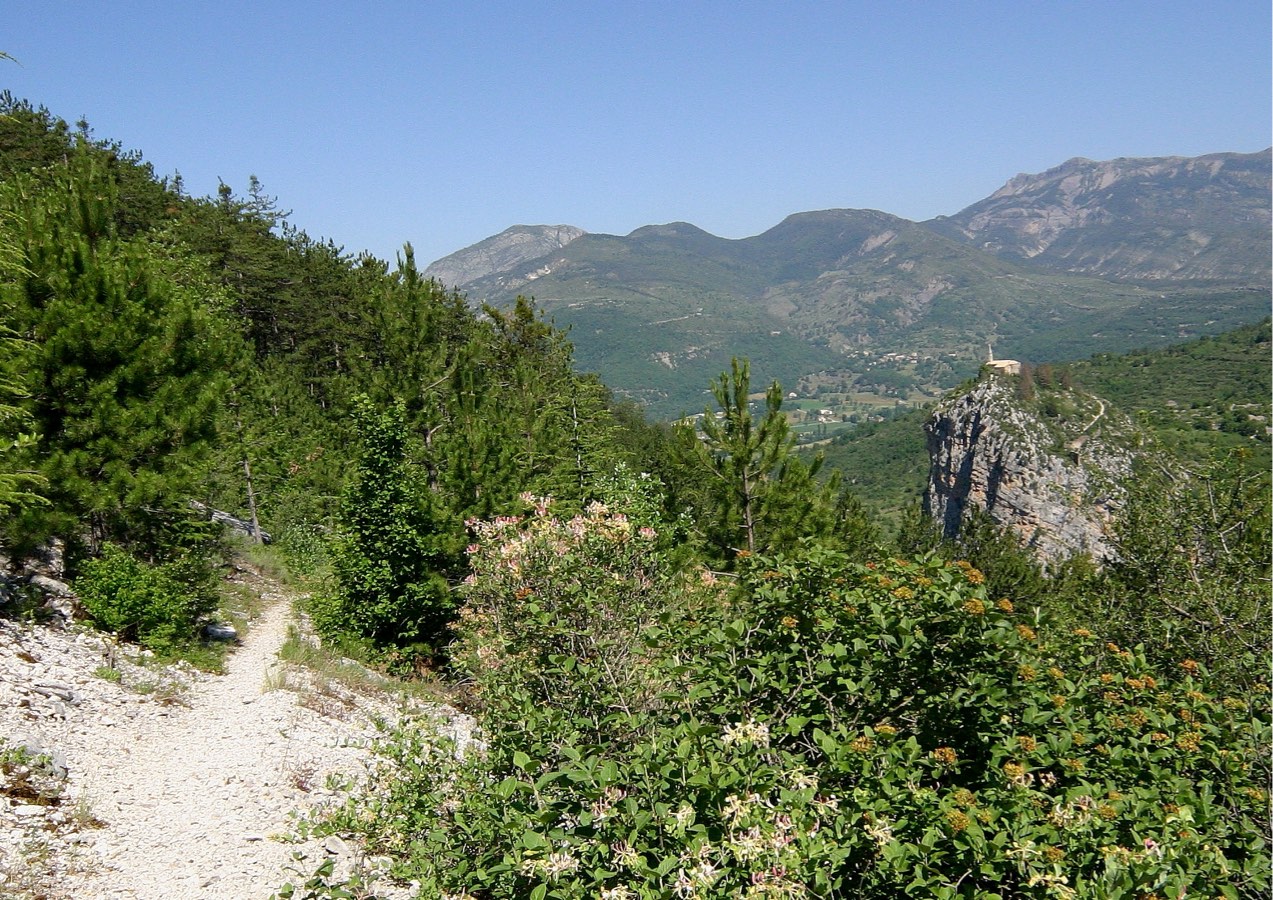
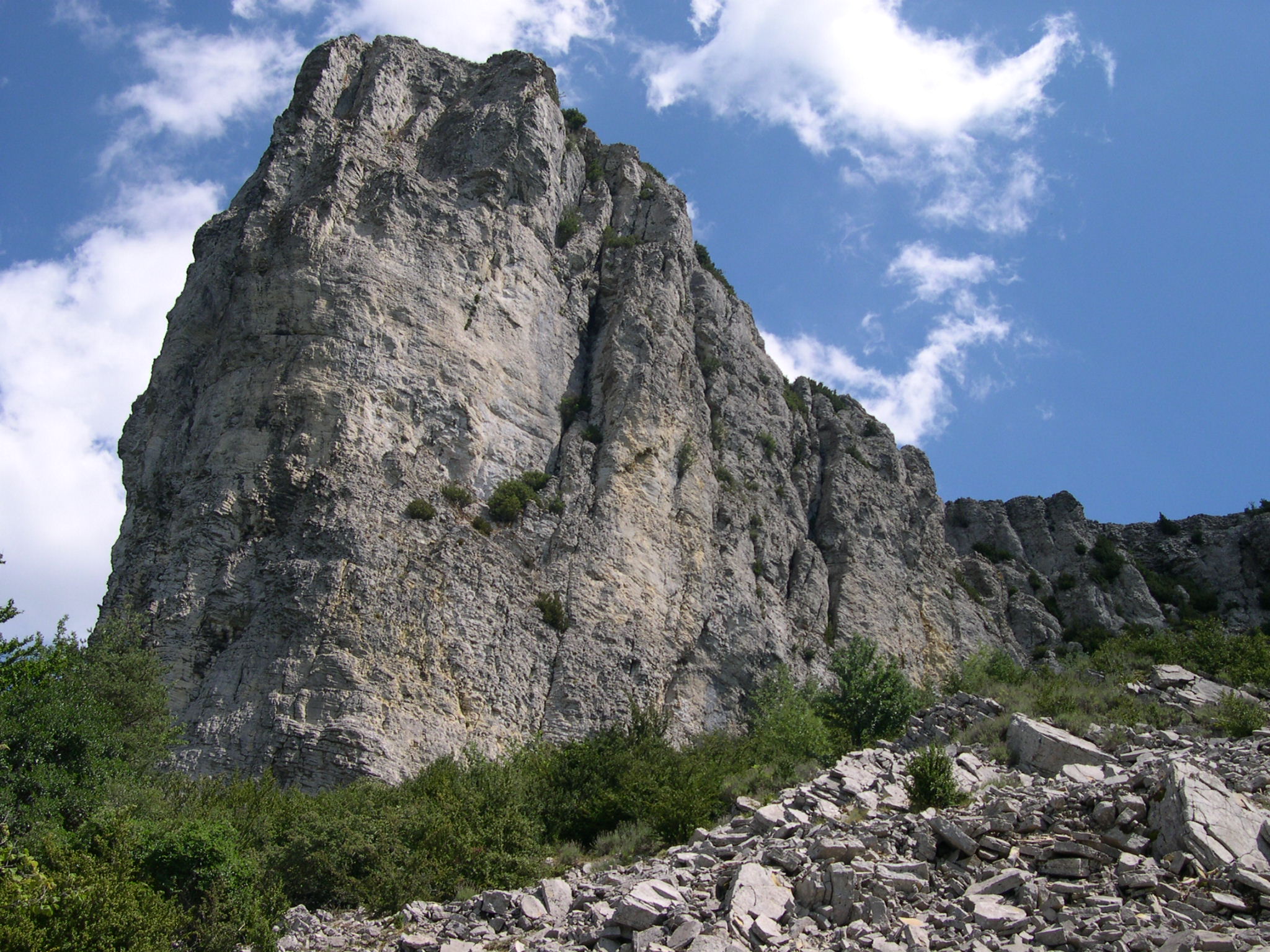
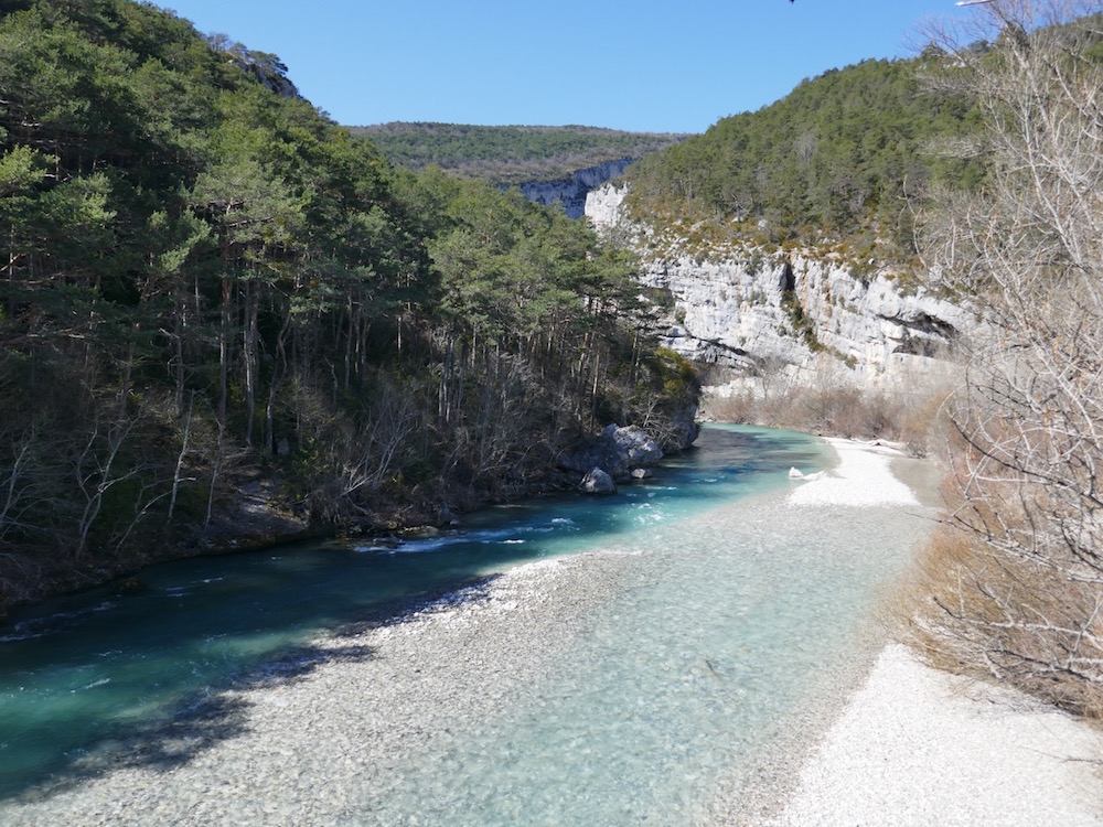
Round trip to the Notre-Dame-du-Roc chapel. The trail is full of history and offers a very beautiful view at the top. A river is close by for a dip after the hike.

Already more than 200,000 users!
Uphill
233m
Highest point
856m
Downhill
233m
Lowest point
730m
Route type
There and back
Download the map on your smartphone to save battery and rest assured to always keep access to the route, even without signal.
Includes IGN France and Swisstopo.
I indicate whether dogs are allowed or prohibited on this trail
All year
1 rating
Also enjoy:

Already more than 200,000 users!