Uphill
1017m
Length
18km
Duration
7h30min
Elev gain
1017m
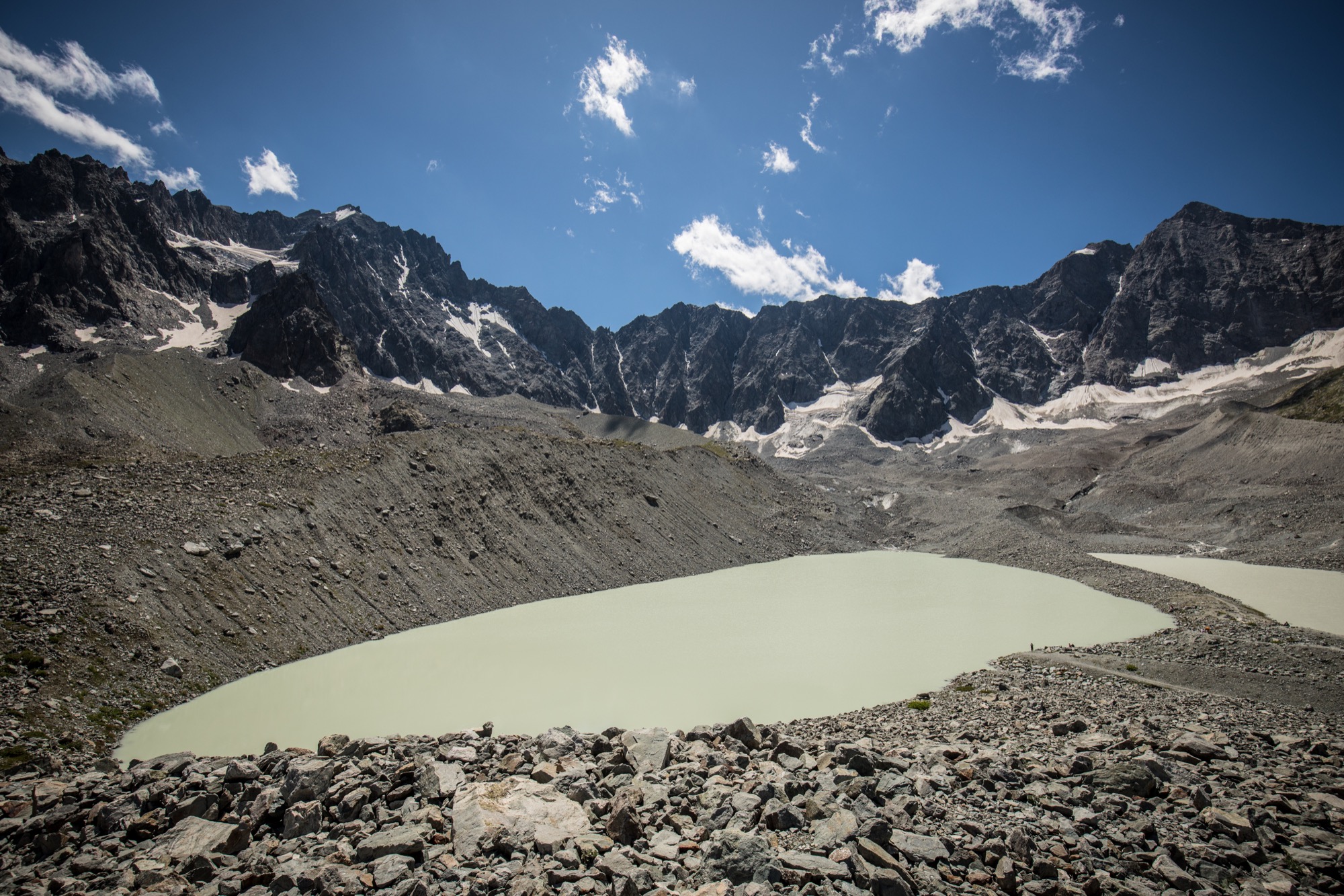
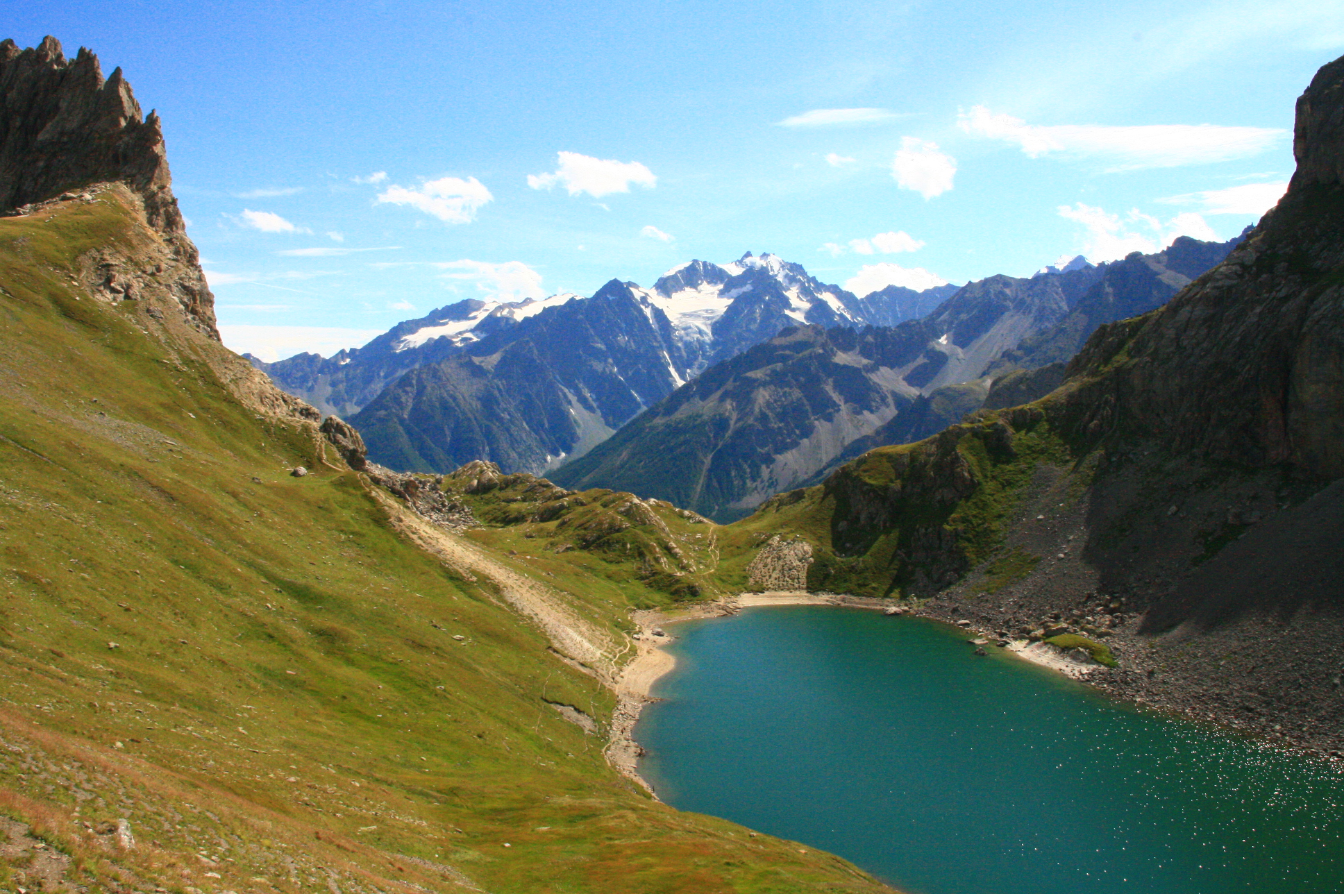
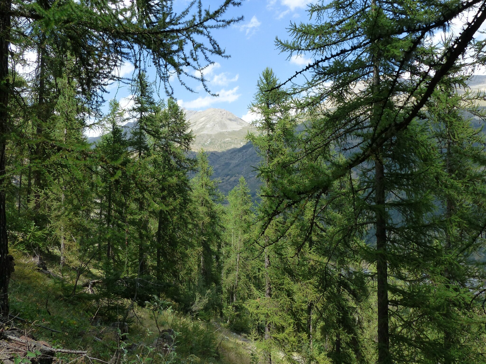
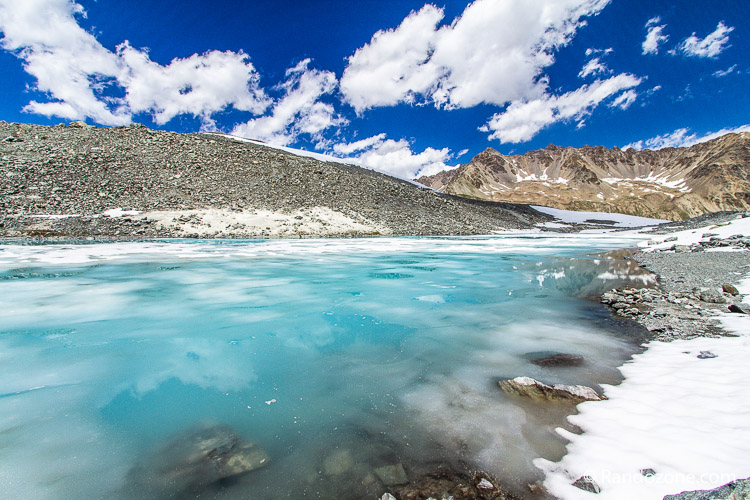
The start is south of the village of Casset. This hike begins in the heart of the larches then runs along the Lac de la Douche to finally arrive at the Lac du Glacier d'Arsine nestled at an altitude of 2460m.

Already more than 200,000 users!
Uphill
1017m
Highest point
2476m
Downhill
1017m
Lowest point
1497m
Route type
There and back
Download the map on your smartphone to save battery and rest assured to always keep access to the route, even without signal.
Includes IGN France and Swisstopo.
I indicate whether dogs are allowed or prohibited on this trail
From June to September
0 ratings
Also enjoy:

Already more than 200,000 users!