Uphill
853m
Length
9km
Duration
5h30min
Elev gain
853m
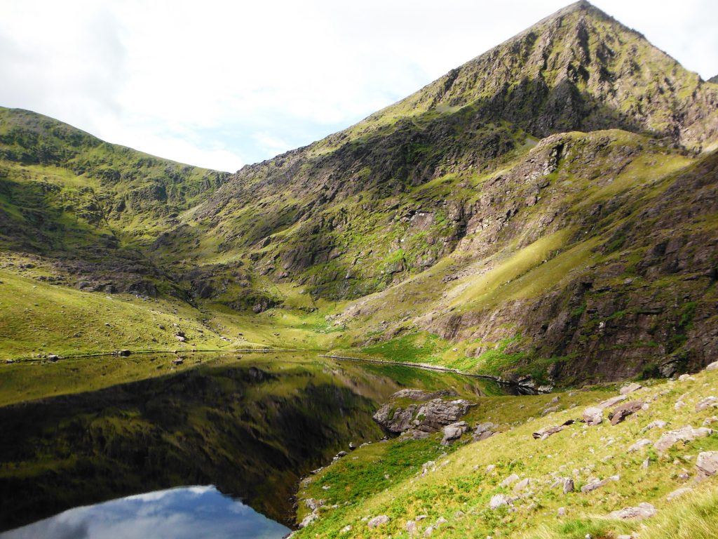
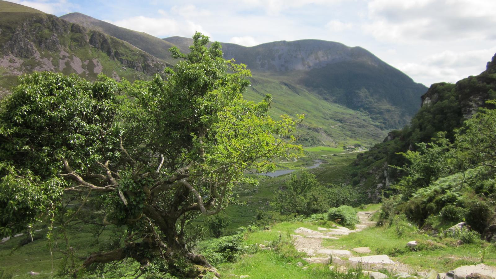
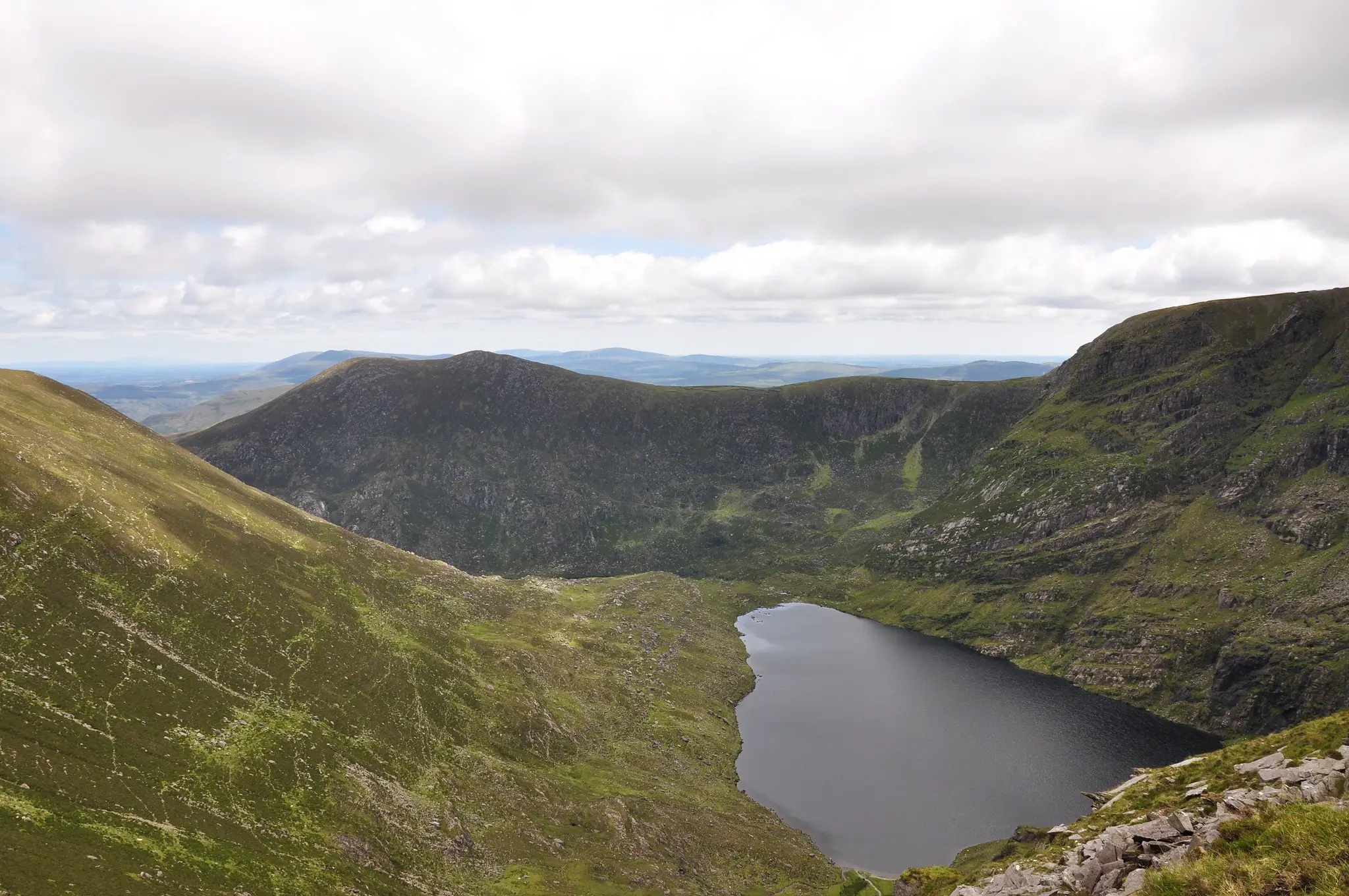
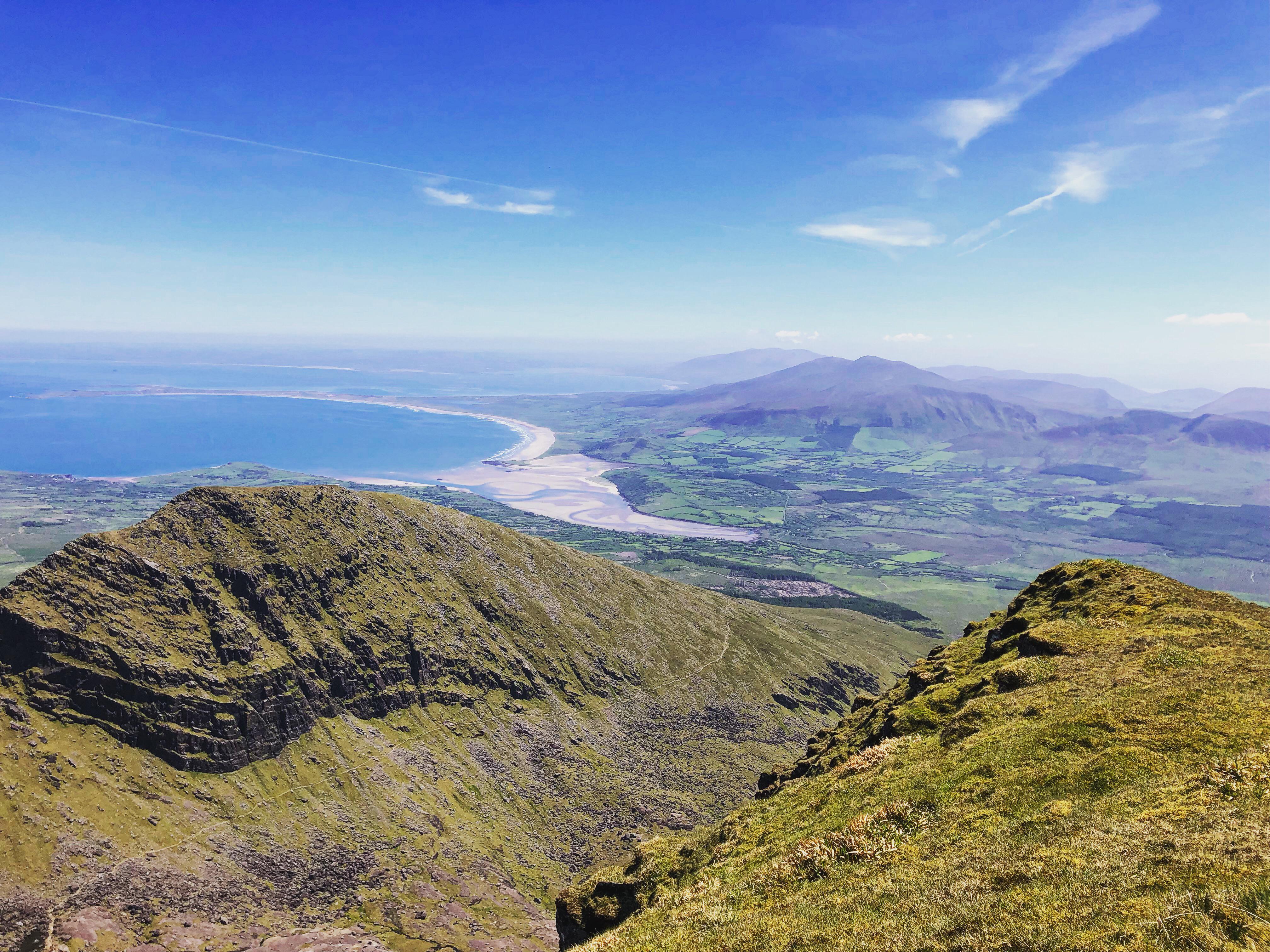
This is a challenging there-and-back hike to ascend Mount Brandon, initially following along the Faha Ridge not far from Cloghane. The track is steep and follows a rocky and grassy footpath. Shortly after starting walking, hikers will pass the Faha Grotto. Closer to the summit, the trail passes a lake. The views throughout are spectacular with rising peaks, coastline cliffs and distant open plains.

Already more than 200,000 users!
Uphill
853m
Highest point
936m
Downhill
853m
Lowest point
175m
Route type
There and back
Download the map on your smartphone to save battery and rest assured to always keep access to the route, even without signal.
Includes IGN France and Swisstopo.
I indicate whether dogs are allowed or prohibited on this trail
All year
0 ratings
Also enjoy:

Already more than 200,000 users!