Uphill
1130m
Length
19km
Duration
8h30min
Elev gain
1130m
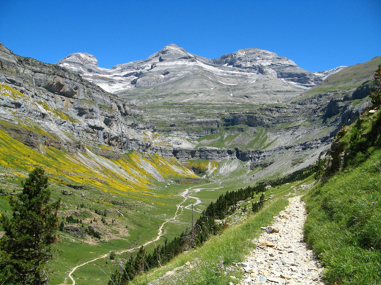
The canyon of Ordesa is a glacial valley located at the foot of Mont Perdu, with impressive cliffs on each side. Hike to the cirque of Soaso by the Sentier des Chasseurs and the Faja de Pelay. The first slope is steep.

Already more than 200,000 users!
Uphill
1130m
Highest point
1988m
Downhill
1130m
Lowest point
1312m
Route type
Loop
Download the map on your smartphone to save battery and rest assured to always keep access to the route, even without signal.
Includes IGN France and Swisstopo.
I indicate whether dogs are allowed or prohibited on this trail
From May to October
0 ratings
Also enjoy:

Already more than 200,000 users!


