Uphill
801m
Length
9km
Duration
5h30min
Elev gain
801m
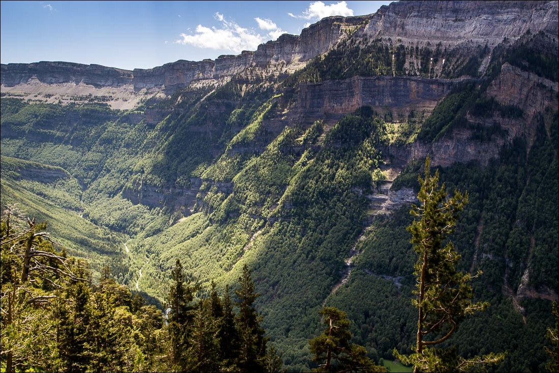
Located on the right bank of the Rio Arazas, this loop circuit climbs the cliffs of the Ordesa Valley. The balcony passage offers magnificent views of the surroundings.

Already more than 200,000 users!
Uphill
801m
Highest point
1974m
Downhill
801m
Lowest point
1309m
Route type
Loop
Download the map on your smartphone to save battery and rest assured to always keep access to the route, even without signal.
Includes IGN France and Swisstopo.
I indicate whether dogs are allowed or prohibited on this trail
From May to October
0 ratings
Also enjoy:

Already more than 200,000 users!


