Uphill
351m

Length
7km
Duration
2h30min
Elev gain
351m
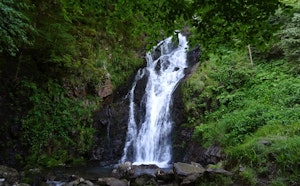
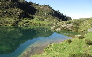
Short loop that allows you to admire this lake of glacial origin, surrounded by torrents and waterfall.

Already more than 200,000 users!
Uphill
351m
Highest point
2200m
Downhill
351m
Lowest point
1908m
Route type
Loop
Download the map on your smartphone to save battery and rest assured to always keep access to the route, even without signal.
Includes IGN France and Swisstopo.
I indicate whether dogs are allowed or prohibited on this trail
From May to September
0 ratings
Also enjoy:

Already more than 200,000 users!