Uphill
520m

Length
14km
Duration
5h
Elev gain
520m
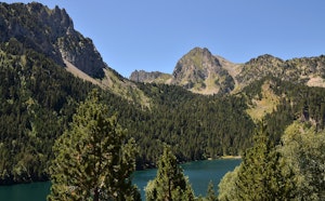
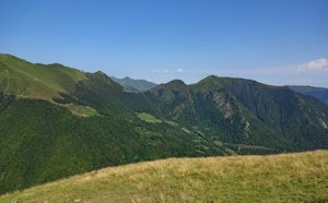
Walk along the Riu de Sant Nicolau, passing by the Llebrata lake and the Sant Esperit waterfall.

Already more than 200,000 users!
Uphill
520m
Highest point
1845m
Downhill
520m
Lowest point
1393m
Route type
There and back
Download the map on your smartphone to save battery and rest assured to always keep access to the route, even without signal.
Includes IGN France and Swisstopo.
I indicate whether dogs are allowed or prohibited on this trail
From May to October
0 ratings
Also enjoy:

Already more than 200,000 users!