Uphill
751m
Length
6km
Duration
5h
Elev gain
751m
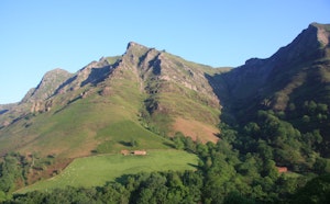
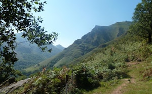
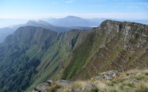
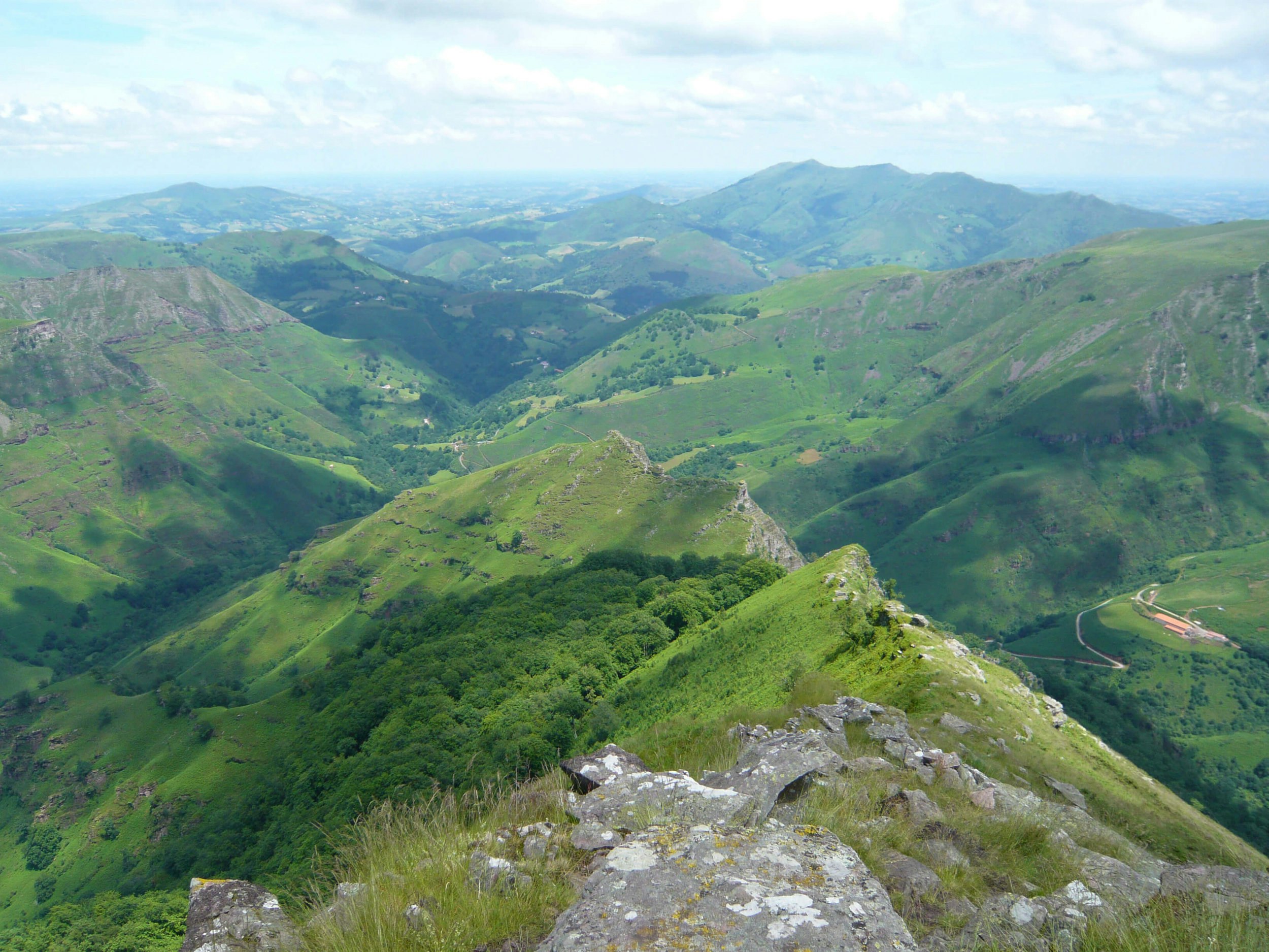
Taking on the Irubelakaskoa, at an altitude of 967 metres. This hike is both physical and technical but offers a magnificent panorama. Sensitive souls refrain !

Already more than 200,000 users!
Uphill
751m
Highest point
933m
Downhill
751m
Lowest point
176m
Route type
There and back
Download the map on your smartphone to save battery and rest assured to always keep access to the route, even without signal.
Includes IGN France and Swisstopo.
I indicate whether dogs are allowed or prohibited on this trail
Can be difficult in Winter
0 ratings
Also enjoy:

Already more than 200,000 users!