Uphill
140m
Length
4km
Duration
1h30min
Elev gain
140m
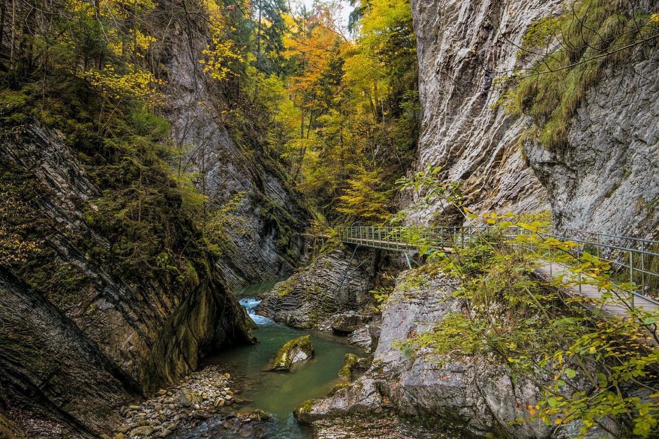
In the heart of a beautiful natural environment, this route sets out to discover small houses and bridges, all along the Jogne. Once at the dam, you have to turn around to return to the starting point. But it is also possible to extend the hike along the lake of Montsalvens.

Already more than 200,000 users!
Uphill
140m
Highest point
812m
Downhill
140m
Lowest point
727m
Route type
There and back
Download the map on your smartphone to save battery and rest assured to always keep access to the route, even without signal.
Includes IGN France and Swisstopo.
I indicate whether dogs are allowed or prohibited on this trail
All year
5 ratings
Randonnée ombragée agréable, ça monte un peu à la fin, escaliers, mais pas de petites maisons.
Also enjoy:

Already more than 200,000 users!


