Uphill
363m
Length
10km
Duration
3h30min
Elev gain
363m
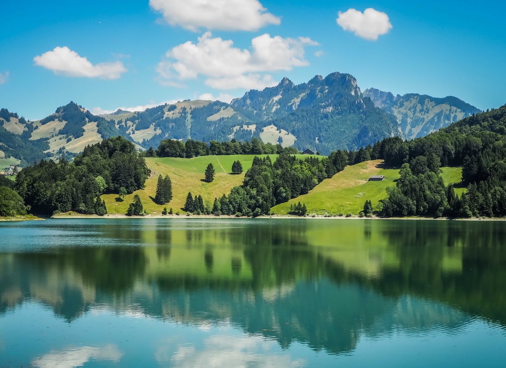
Nice hike around Lake Montsalvens. The route makes a loop on paths which can be steep in places, but which offer superb views of the lake and its surroundings. In short, a beautiful walk that is worth the detour.

Already more than 200,000 users!
Uphill
363m
Highest point
974m
Downhill
363m
Lowest point
789m
Route type
Loop
Download the map on your smartphone to save battery and rest assured to always keep access to the route, even without signal.
Includes IGN France and Swisstopo.
I indicate whether dogs are allowed or prohibited on this trail
Can be difficult in Winter
4 ratings
Also enjoy:

Already more than 200,000 users!


