Uphill
323m
Length
13km
Duration
4h
Elev gain
323m
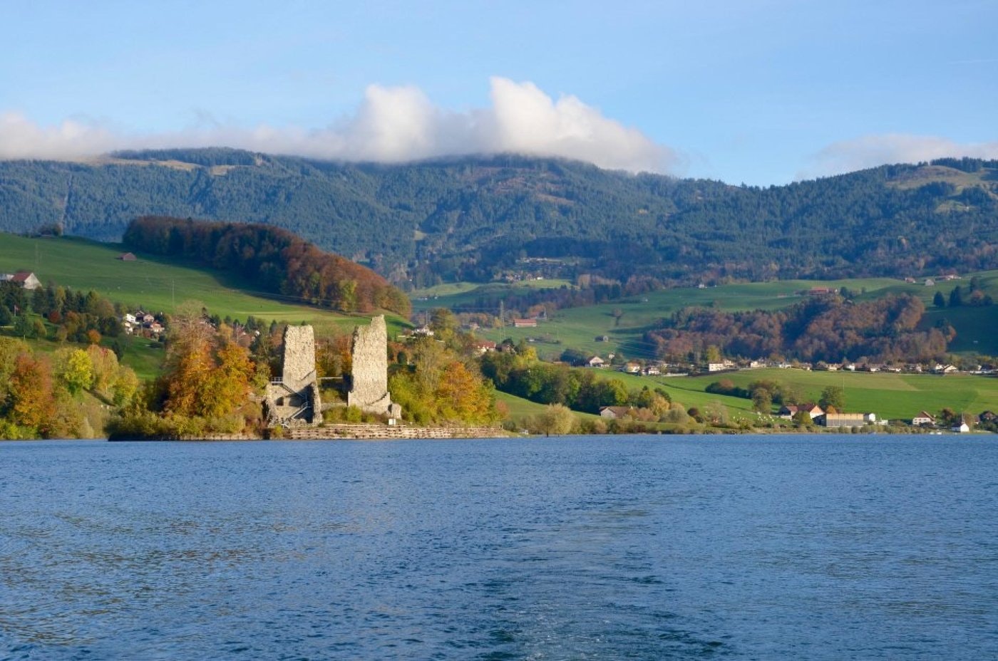
Here is a great walk around the Lac de la Gruyère, a dam lake located between the towns of Friborg and Bulle. The route follows pretty paths that offer breathtaking views of the island of Ogoz and the surroundings of the lake.
To end this hike in style, depending on the season, a little swim will be very appreciated.

Already more than 200,000 users!
Uphill
323m
Highest point
718m
Downhill
323m
Lowest point
656m
Route type
Loop
Download the map on your smartphone to save battery and rest assured to always keep access to the route, even without signal.
Includes IGN France and Swisstopo.
I indicate whether dogs are allowed or prohibited on this trail
All year
0 ratings
Also enjoy:

Already more than 200,000 users!


