Uphill
561m
Length
8km
Duration
4h
Elev gain
561m
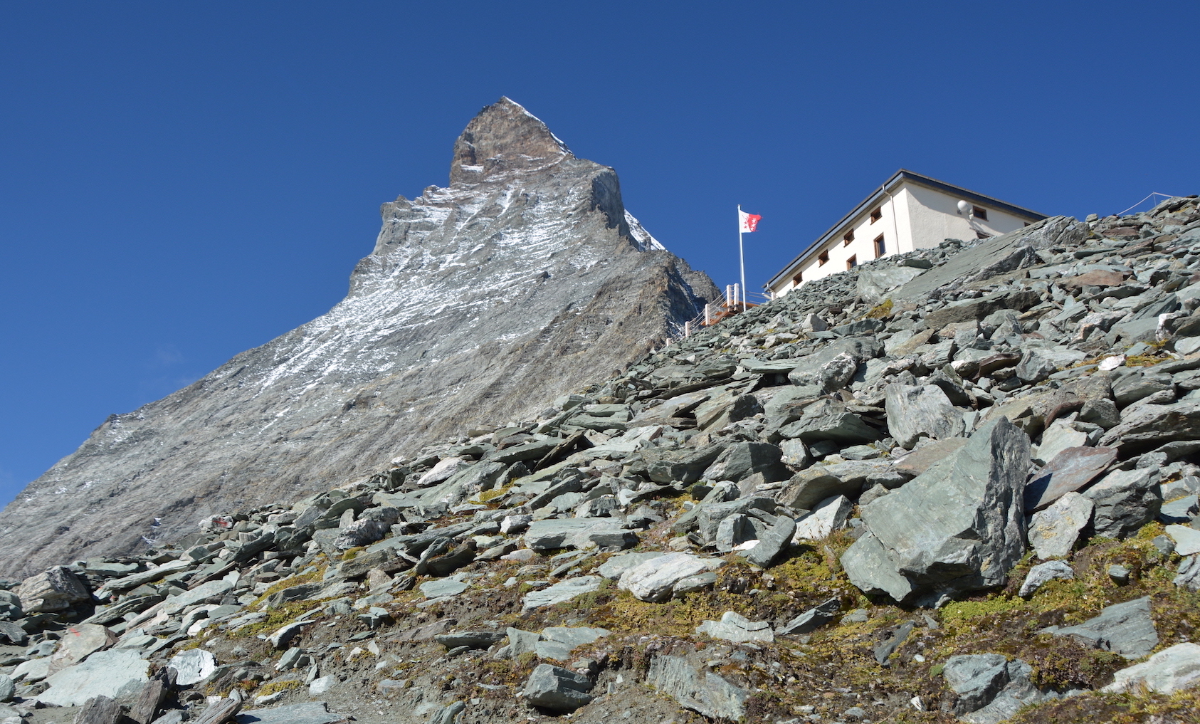
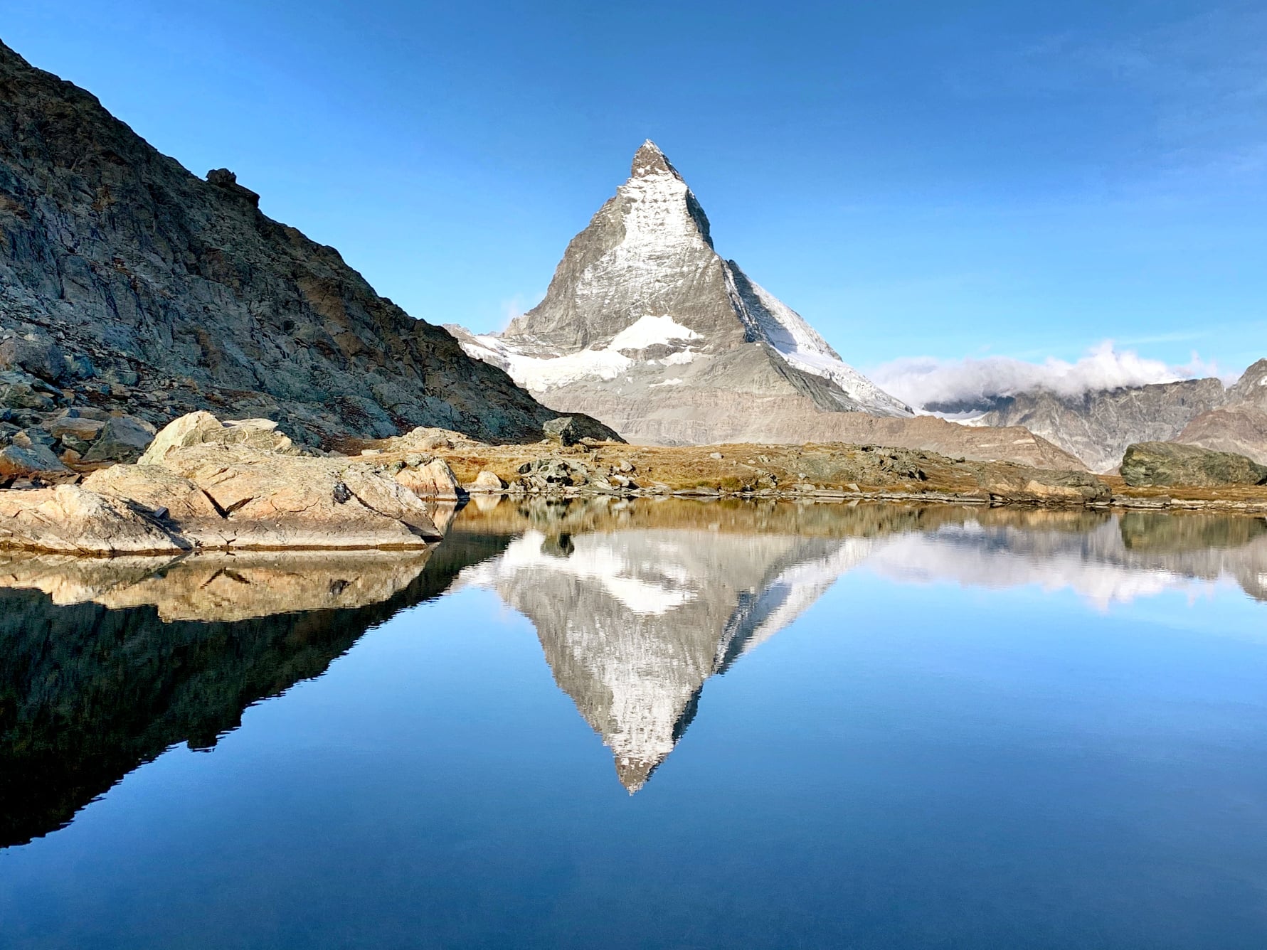
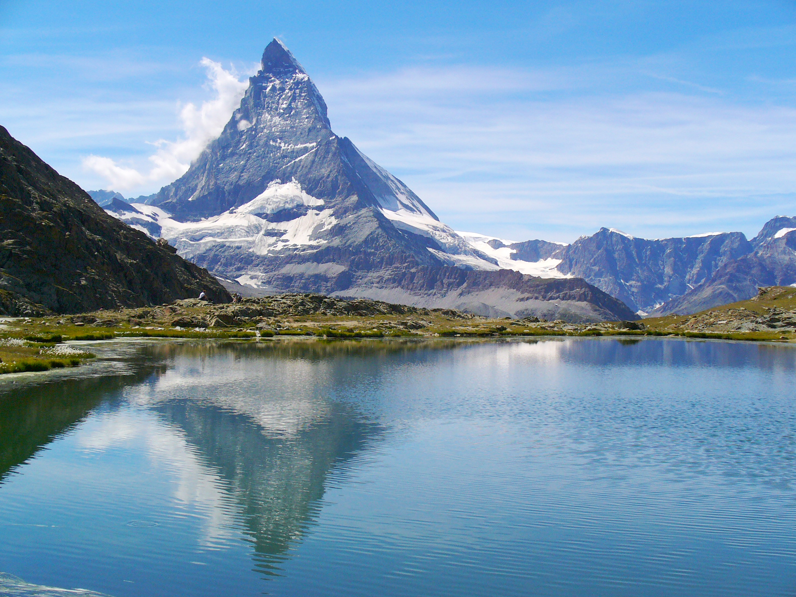
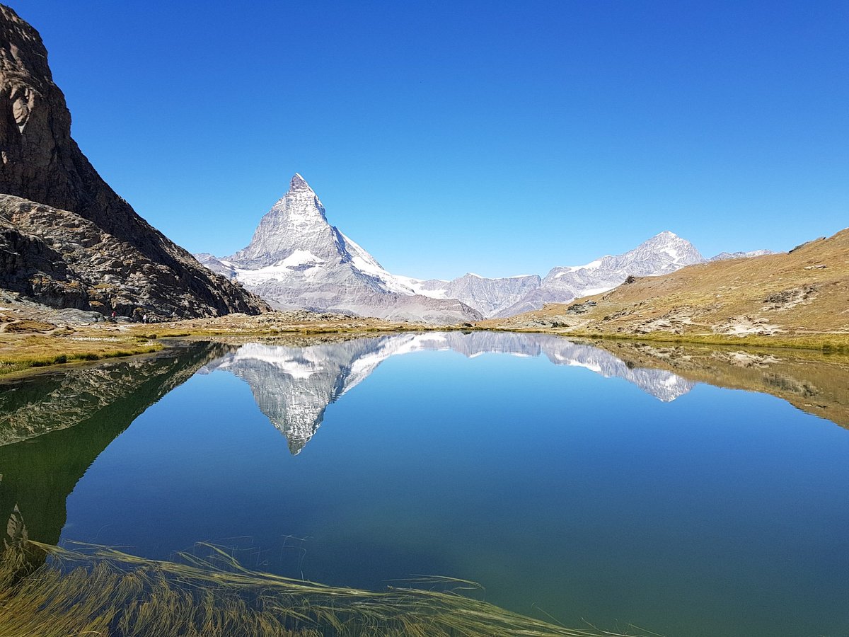
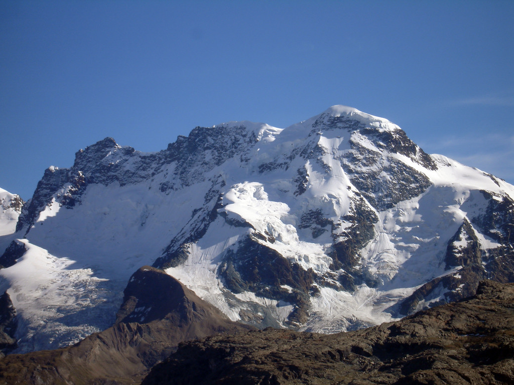
Here is a high mountain hike, reserved only for the most seasoned. Starting from the Little Matterhorn, this hike leads to the Breithorn Centrale, a summit located at more than 4,000 meters above sea level, passing by the summit of the Breithorn just before.
Warning: this trail is similar to mountaineering, and it is recommended to be equipped with crampons and ropes.

Already more than 200,000 users!
Uphill
561m
Highest point
4161m
Downhill
561m
Lowest point
3753m
Route type
There and back
Download the map on your smartphone to save battery and rest assured to always keep access to the route, even without signal.
Includes IGN France and Swisstopo.
I indicate whether dogs are allowed or prohibited on this trail
From June to September
0 ratings
Also enjoy:

Already more than 200,000 users!