Uphill
674m
Length
9km
Duration
4h30min
Elev gain
674m
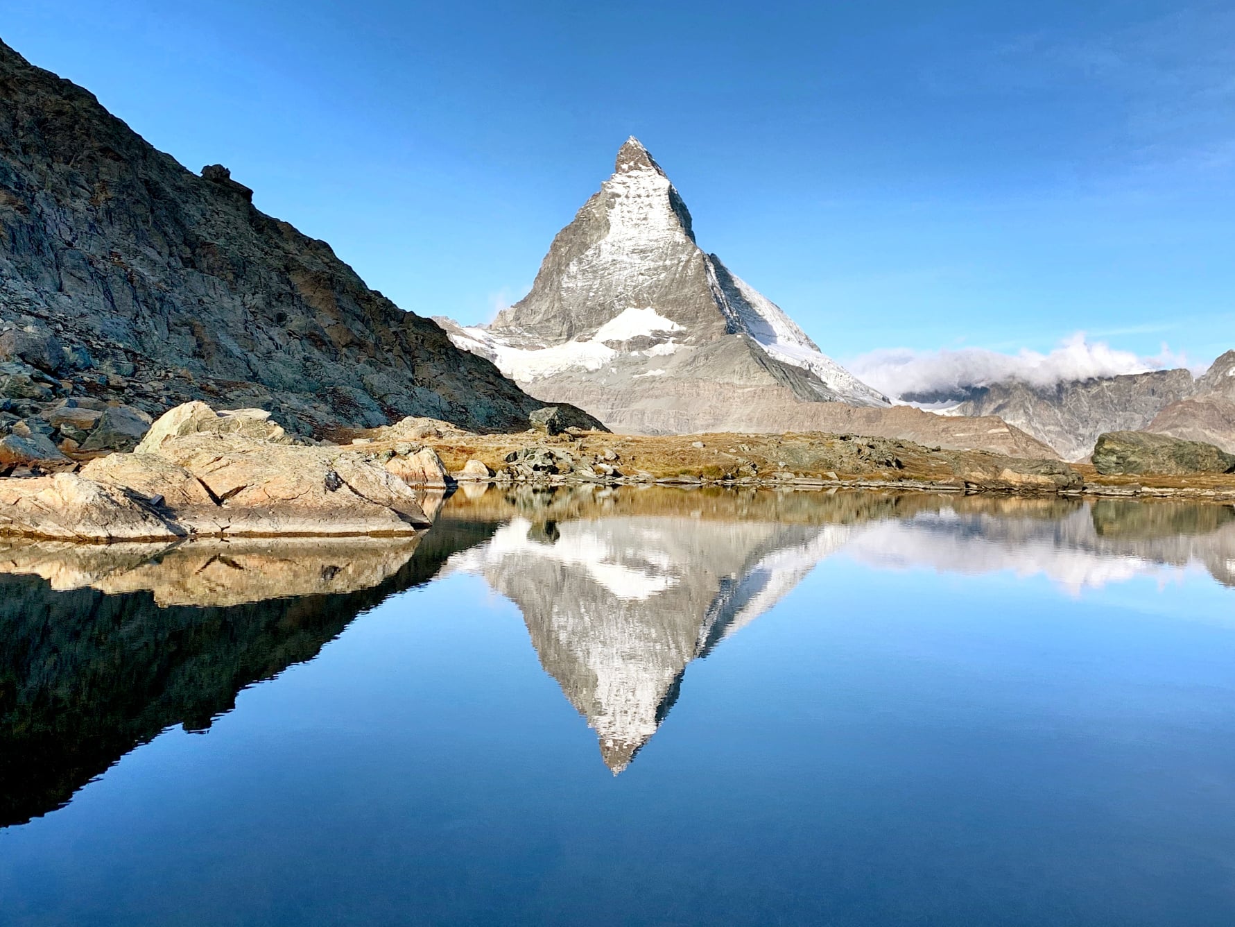
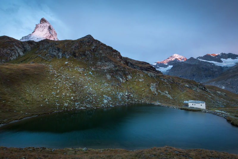
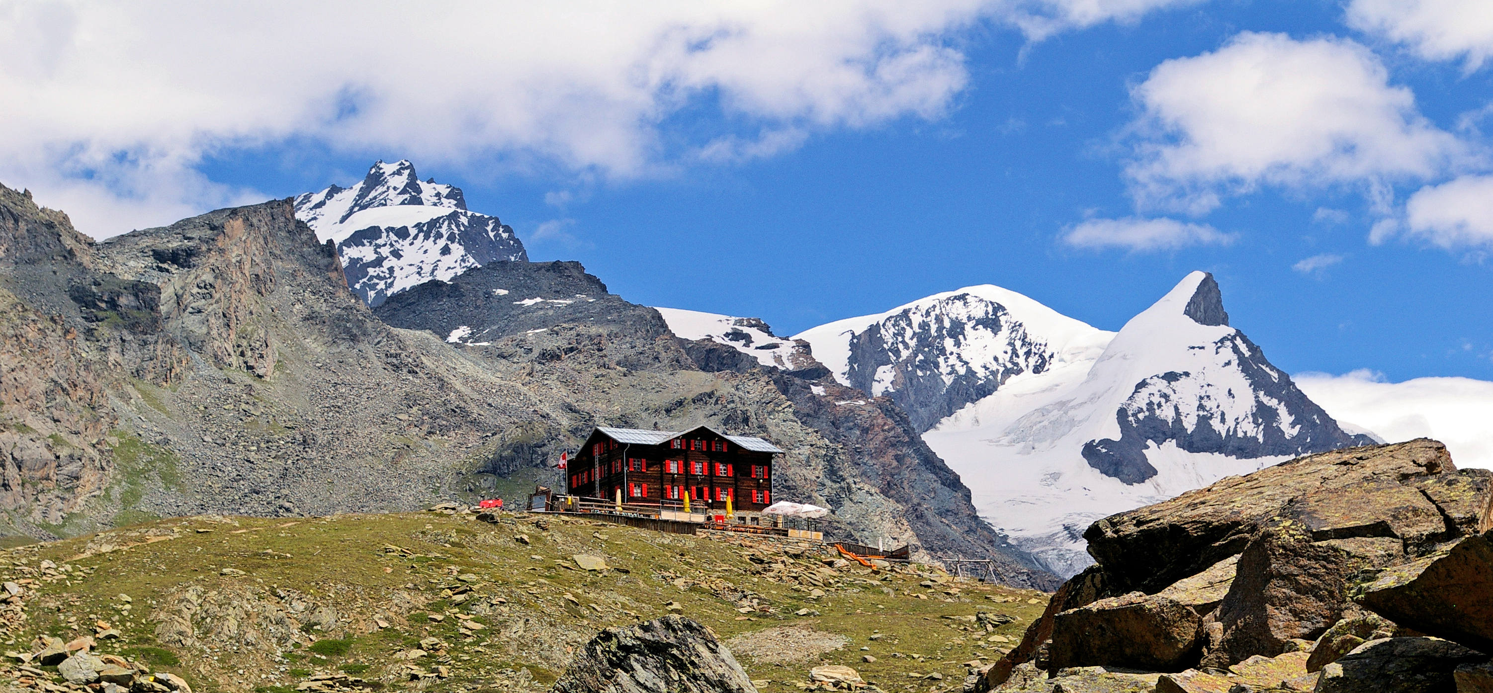
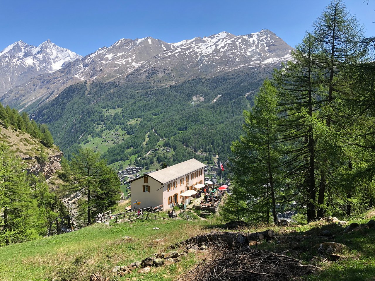
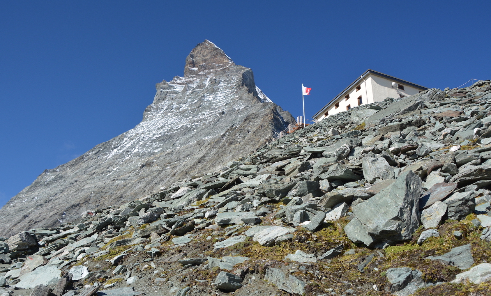
Departing from Schwarzsee, this hike leads to the Hörnlihütte Matterhorn, a hut at the foot of the Matterhorn. The climb is relatively physically and technically demanding but offers a view of the Matterhorn all the way. Once at the top, the view is splendid.

Already more than 200,000 users!
Uphill
674m
Highest point
3252m
Downhill
674m
Lowest point
2575m
Route type
There and back
Download the map on your smartphone to save battery and rest assured to always keep access to the route, even without signal.
Includes IGN France and Swisstopo.
Accessible by Matterhorn Express: Schwarzsee station near the starting point.
I indicate whether dogs are allowed or prohibited on this trail
From June to September
0 ratings
Also enjoy:

Already more than 200,000 users!