Uphill
495m
Length
6km
Duration
2h30min
Elev gain
495m
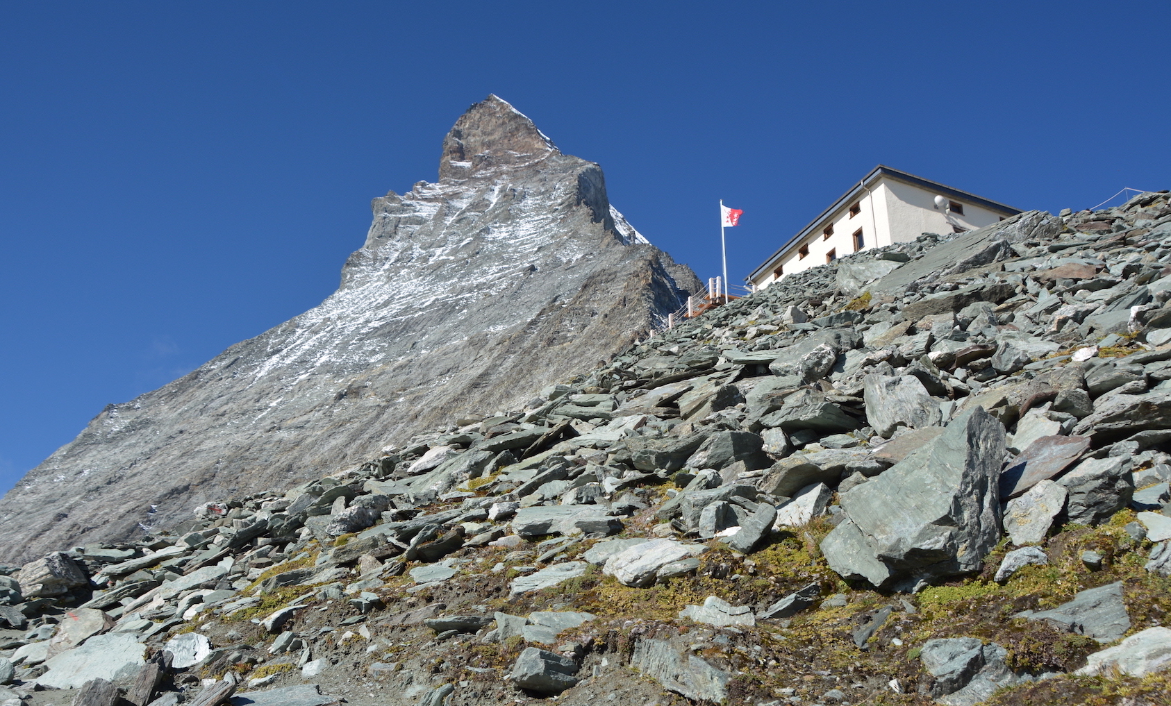
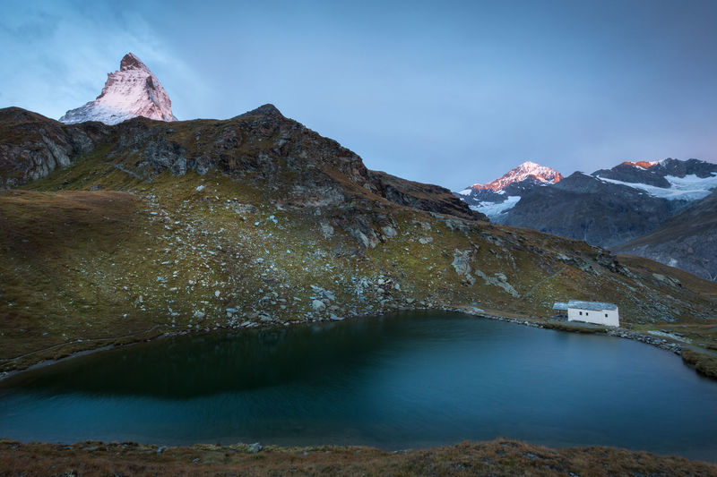
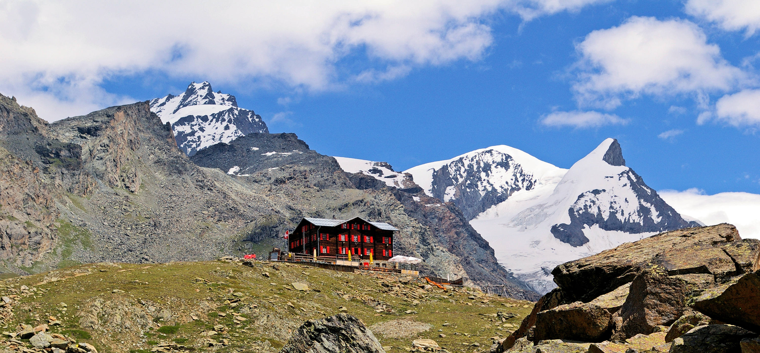
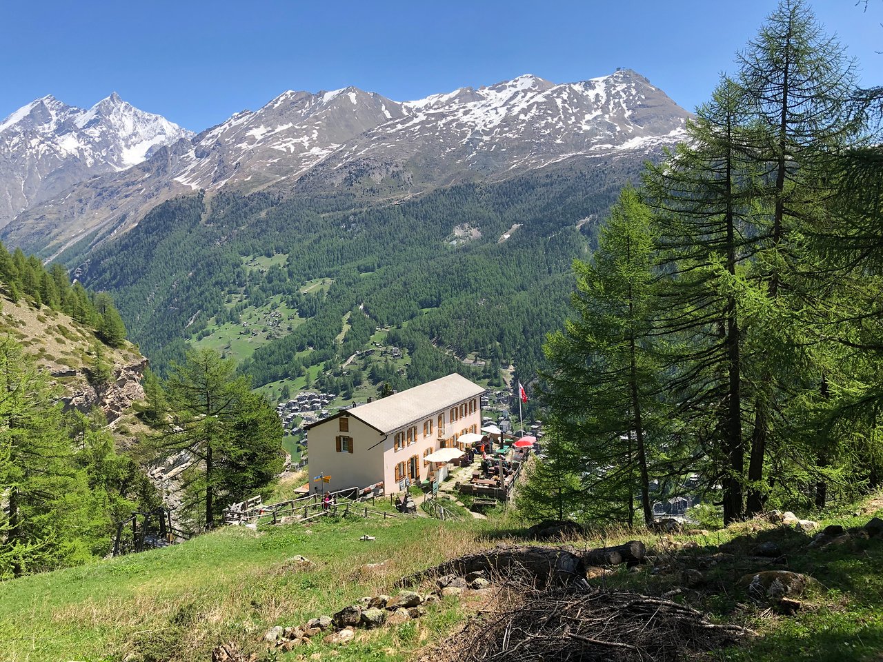
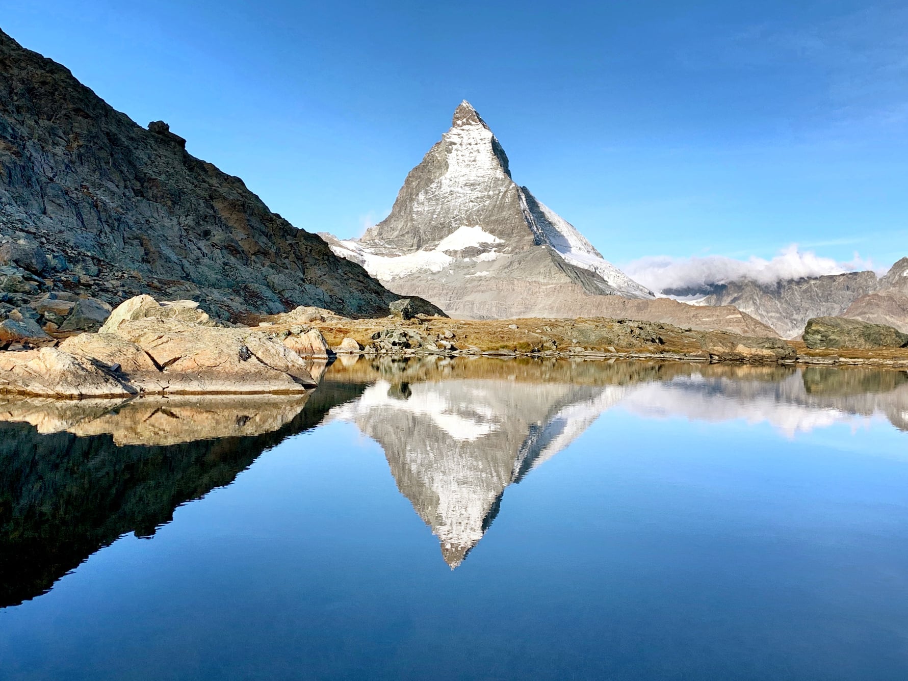
What can we say about this hike? Great, splendid, extraordinary. And yet, these words are not enough. Indeed, this walk between Schwarzsee and Trockener Steg, located in the Zermatt ski area, is a must in the area. The trail is steep in places, but nothing too complicated. The landscapes give the impression of being on another planet and the views of the Matterhorn are breathtaking. In short, a hike that is totally worth it and that is doable in either direction.

Already more than 200,000 users!
Uphill
495m
Highest point
2928m
Downhill
148m
Lowest point
2574m
Route type
One way
Download the map on your smartphone to save battery and rest assured to always keep access to the route, even without signal.
Includes IGN France and Swisstopo.
Hike accessible by the Matterhorn Express cable car.
Schwarzsee station at the starting point.
Trockener Steg station on arrival.
I indicate whether dogs are allowed or prohibited on this trail
From June to September
0 ratings
Also enjoy:

Already more than 200,000 users!