Uphill
134m
Length
3km
Duration
1h
Elev gain
134m
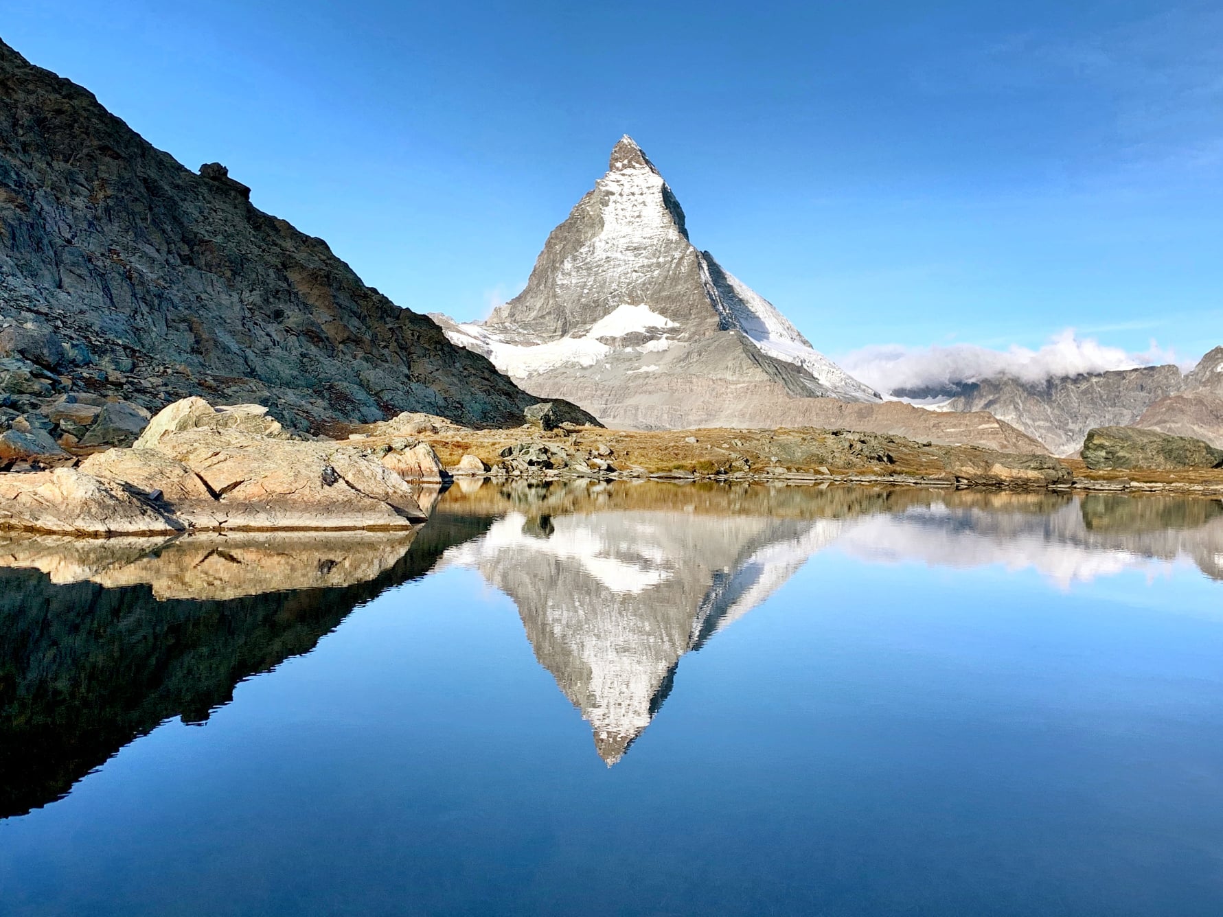
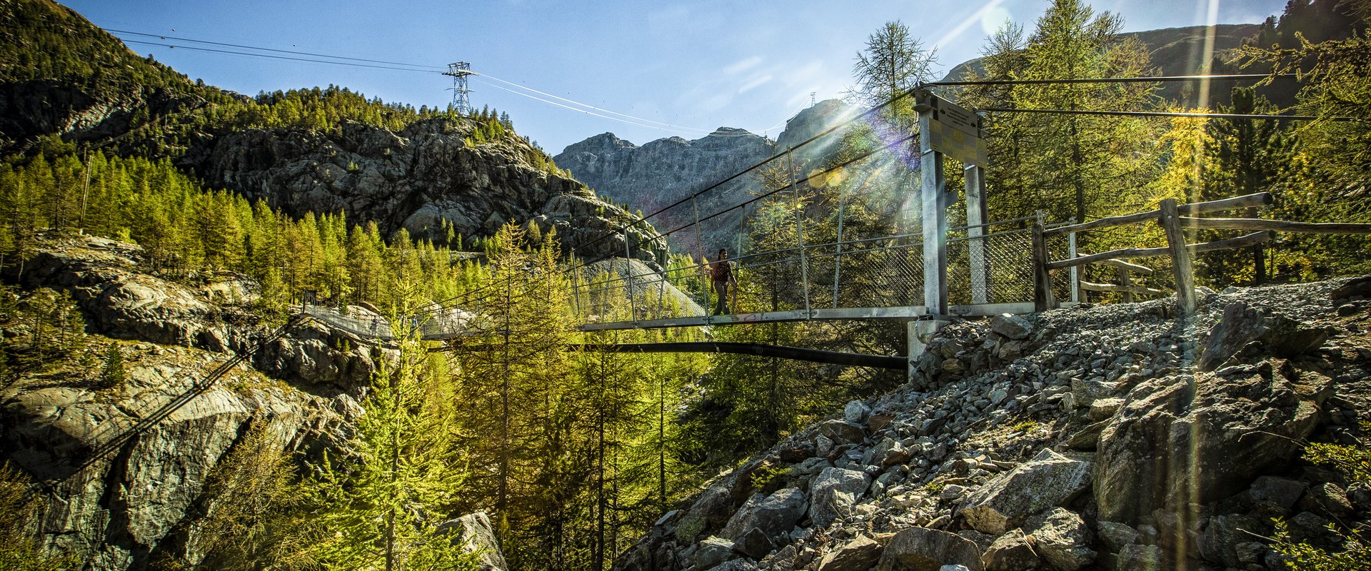
Nice little hike on a path without much difficulty. The route makes a loop, passes over the charming suspension bridge and offers beautiful views of the Zermatt valley.

Already more than 200,000 users!
Uphill
134m
Highest point
1966m
Downhill
134m
Lowest point
1830m
Route type
Loop
Download the map on your smartphone to save battery and rest assured to always keep access to the route, even without signal.
Includes IGN France and Swisstopo.
Parking at the start of the hike.
Station of Furi (Matterhorn Express) at the start.
I indicate whether dogs are allowed or prohibited on this trail
From May to October
0 ratings
Also enjoy:

Already more than 200,000 users!