Uphill
1626m
Length
11km
Duration
7h
Elev gain
1626m
After the respite of the day before, this stage offers a short but intense itinerary! Indeed, the elevation gain of 1,600 meters is exceptional, and it will be advisable to distribute your efforts well over the 10 kilometers of walking.
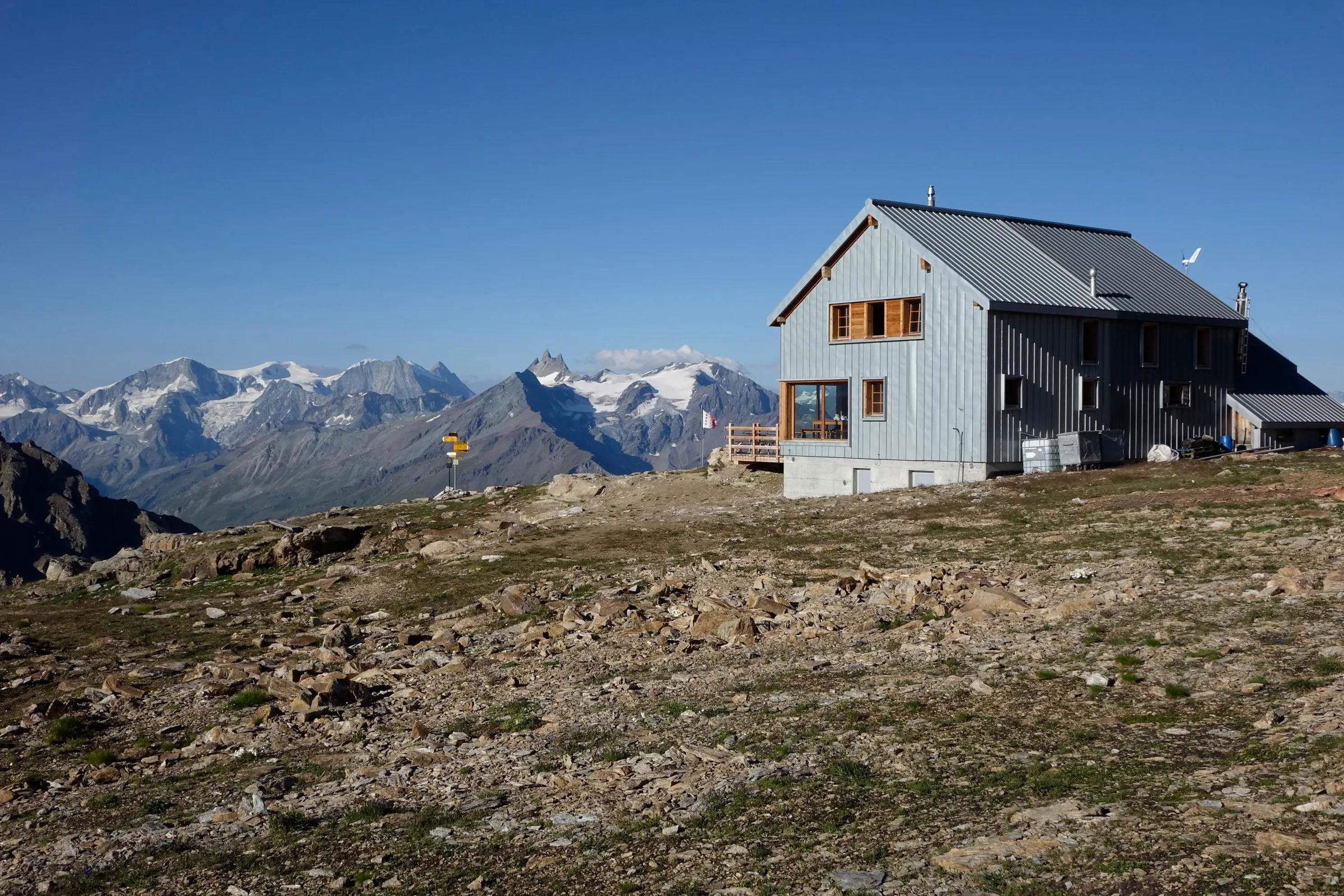
The path crosses forests and mountain pastures, before joining the Pas de Lona, then the Becs de Bosson hut (2,985 m). The view is then superb on the summits of the Valais, and extending to Mont-Blanc.

Already more than 200,000 users!
Uphill
1626m
Highest point
2977m
Downhill
28m
Lowest point
1376m
Route type
One way
Download the map on your smartphone to save battery and rest assured to always keep access to the route, even without signal.
Includes IGN France and Swisstopo.
I indicate whether dogs are allowed or prohibited on this trail
From June to September
0 ratings
Also enjoy:

Already more than 200,000 users!


