Uphill
139m
Length
7km
Duration
2h
Elev gain
139m
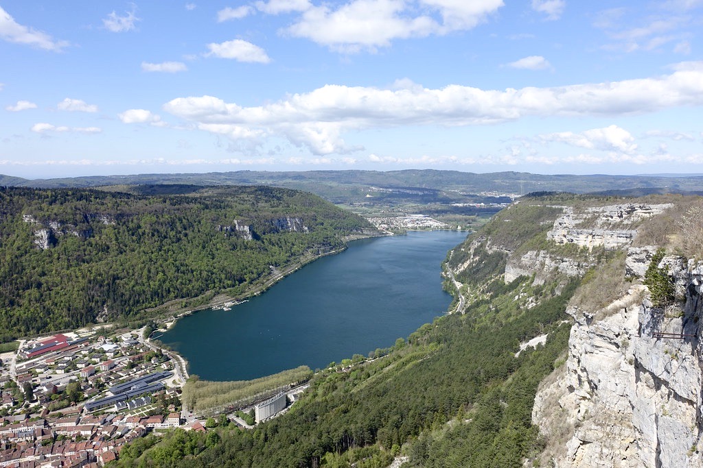
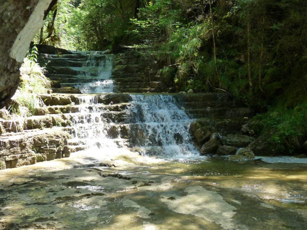
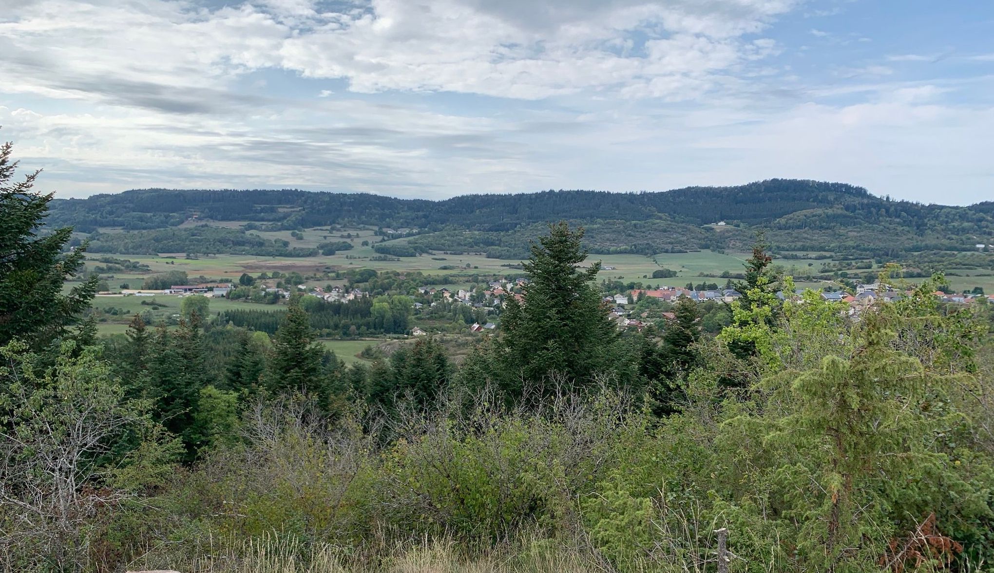
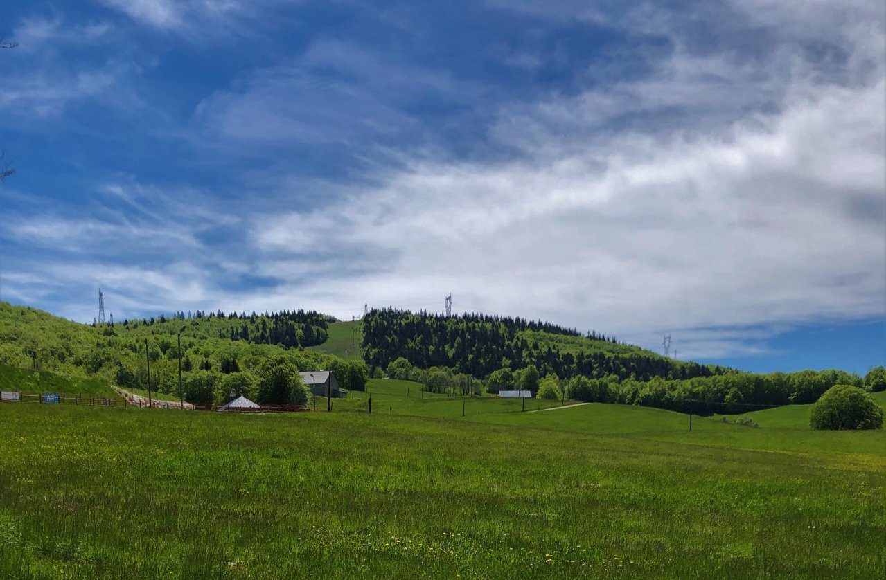
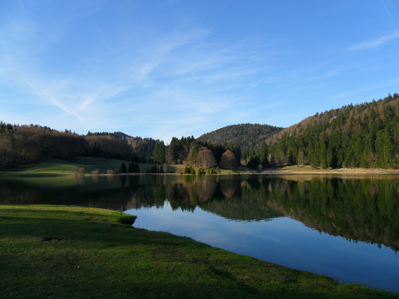
Here is a short hike from Les Granges which leads to the Peney belvedere. The path climbs through the undergrowth to reach the viewpoint overlooking the pretty Lac de Sylans. After enjoying the view, the return to the starting point is between forest and fields.

Already more than 200,000 users!
Uphill
139m
Highest point
928m
Downhill
139m
Lowest point
800m
Route type
Loop
Download the map on your smartphone to save battery and rest assured to always keep access to the route, even without signal.
Includes IGN France and Swisstopo.
I indicate whether dogs are allowed or prohibited on this trail
Can be difficult in Winter
0 ratings
Also enjoy:

Already more than 200,000 users!