Uphill
1192m
France > Auvergne-Rhône-Alpes > Isère > Chartreuse Regional Natural Park
Length
22km
Duration
9h30min
Elev gain
1192m
This third day of the crossing of the Chartreuse begins without detours: you will go from 880 meters of altitude to almost 1,900 meters, in a little less than 9 kilometers of walking. You will then arrive at the Bellefont pass, the highest point of the stay.
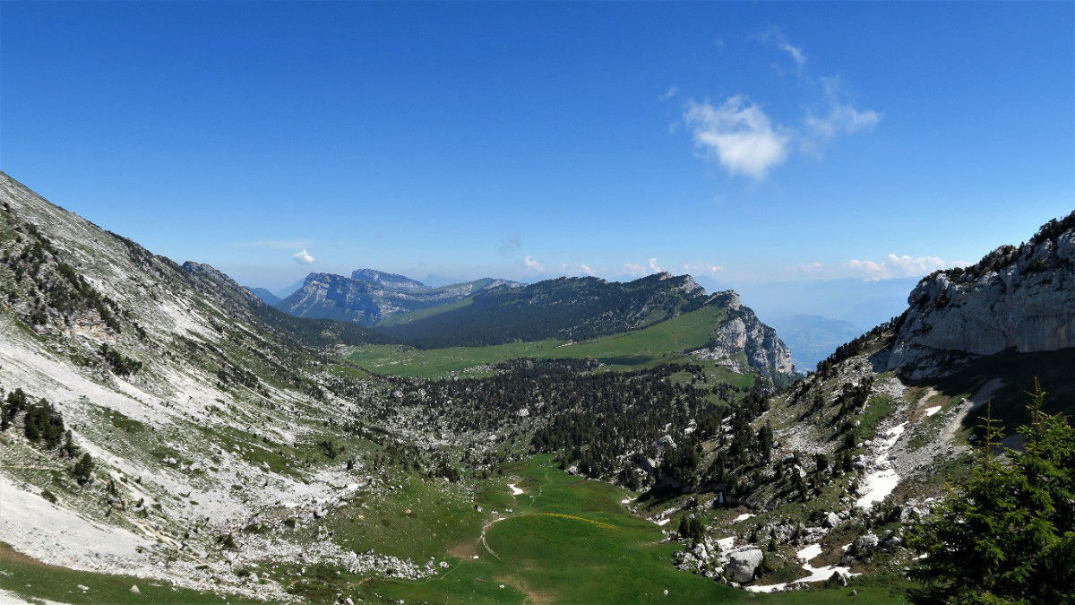
The trail then crosses the Hauts de Chartreuse national nature reserve, a vast rocky plateau bordered by cliffs. The landscapes are simply exceptional.
Finally, the path descends towards Saint-Pierre-d'Entremont passing near the Cirque de Saint-Même.

Already more than 200,000 users!
Uphill
1192m
Highest point
1893m
Downhill
1420m
Lowest point
638m
Route type
One way
Download the map on your smartphone to save battery and rest assured to always keep access to the route, even without signal.
Includes IGN France and Swisstopo.
Saint-Pierre-d'Entremont has several gîtes and restaurants for the evening.
I indicate whether dogs are allowed or prohibited on this trail
From May to October
3 ratings
Also enjoy:

Already more than 200,000 users!


