Uphill
184m
Length
7km
Duration
2h
Elev gain
184m
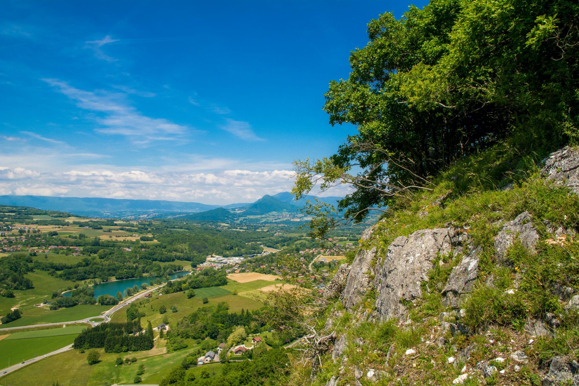
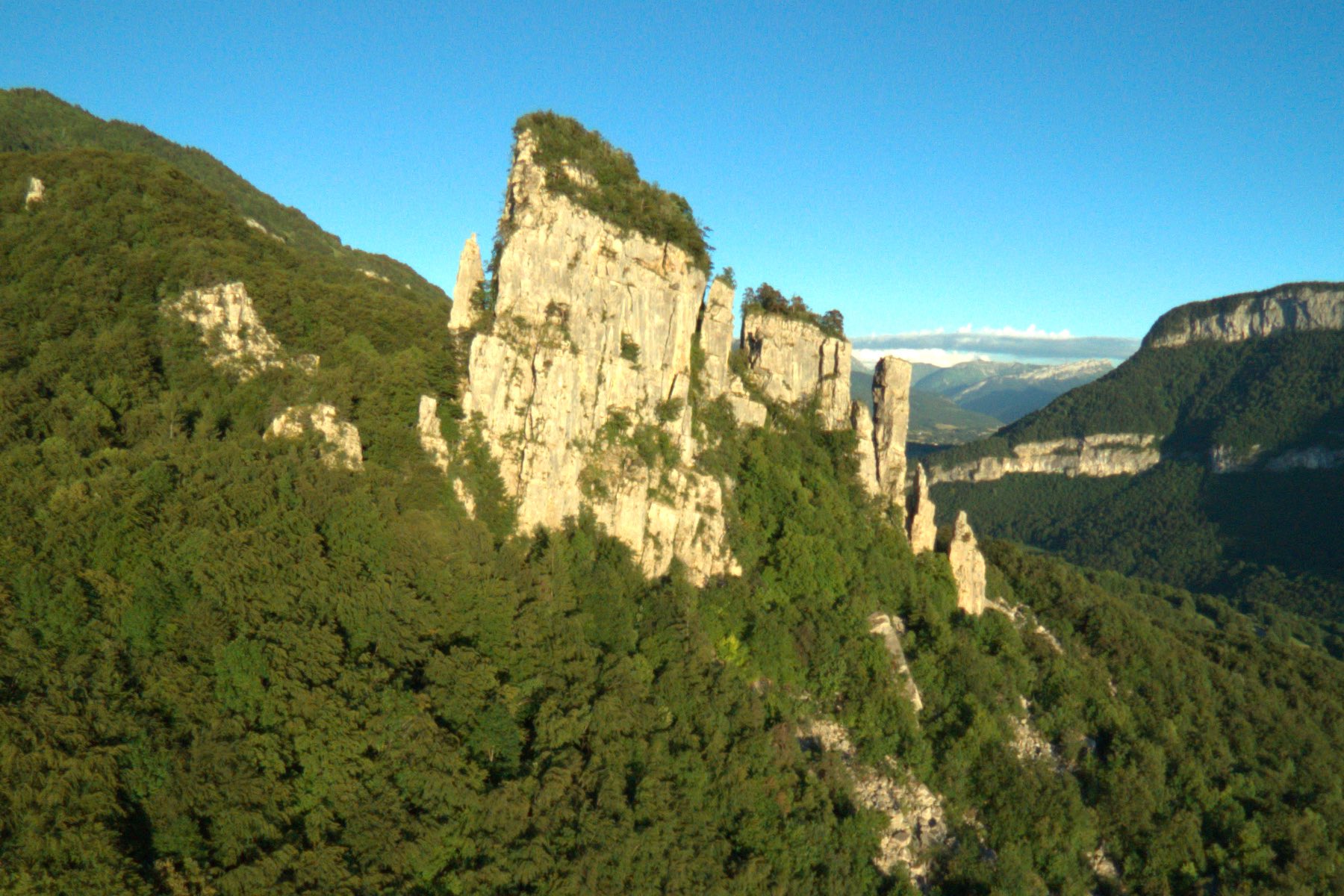
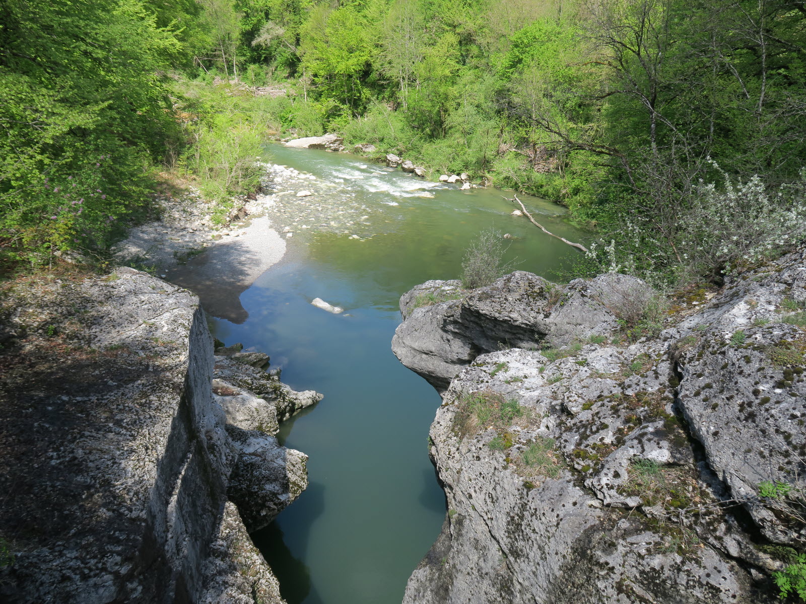
Departing from Chavanod, this route passes near the famous Gorges du Fier, without however entering the paid area.
Note that part of the walk takes place on the road.

Already more than 200,000 users!
Uphill
184m
Highest point
506m
Downhill
184m
Lowest point
379m
Route type
Loop
Download the map on your smartphone to save battery and rest assured to always keep access to the route, even without signal.
Includes IGN France and Swisstopo.
1 rating
Also enjoy:

Already more than 200,000 users!