Uphill
441m
Length
8km
Duration
3h30min
Elev gain
441m
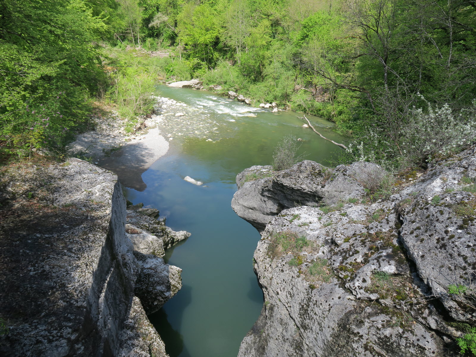
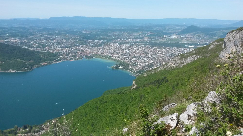
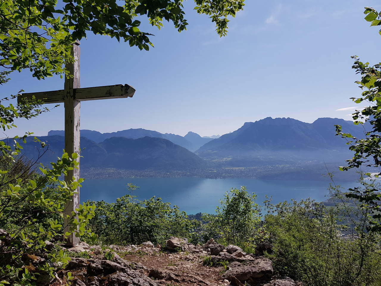
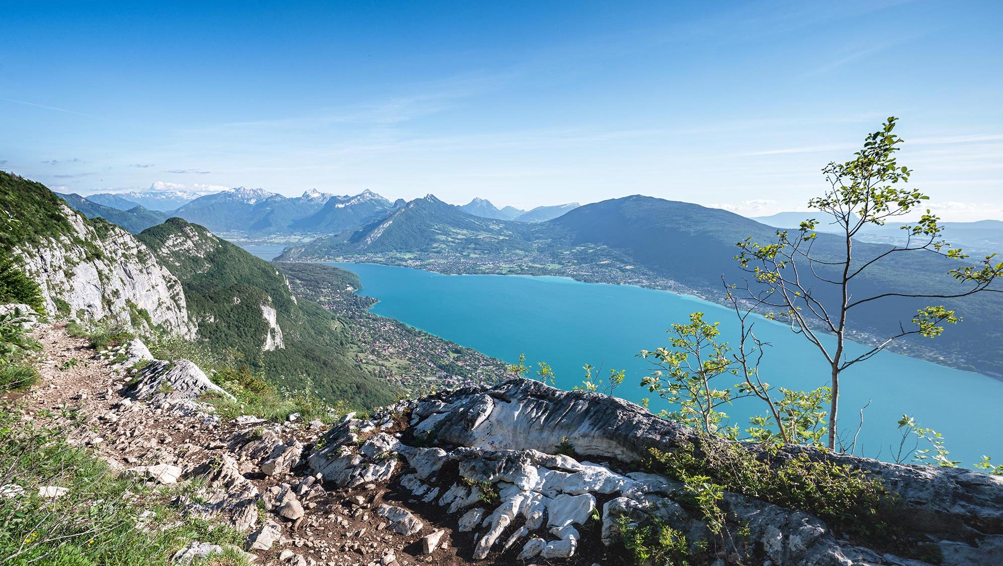
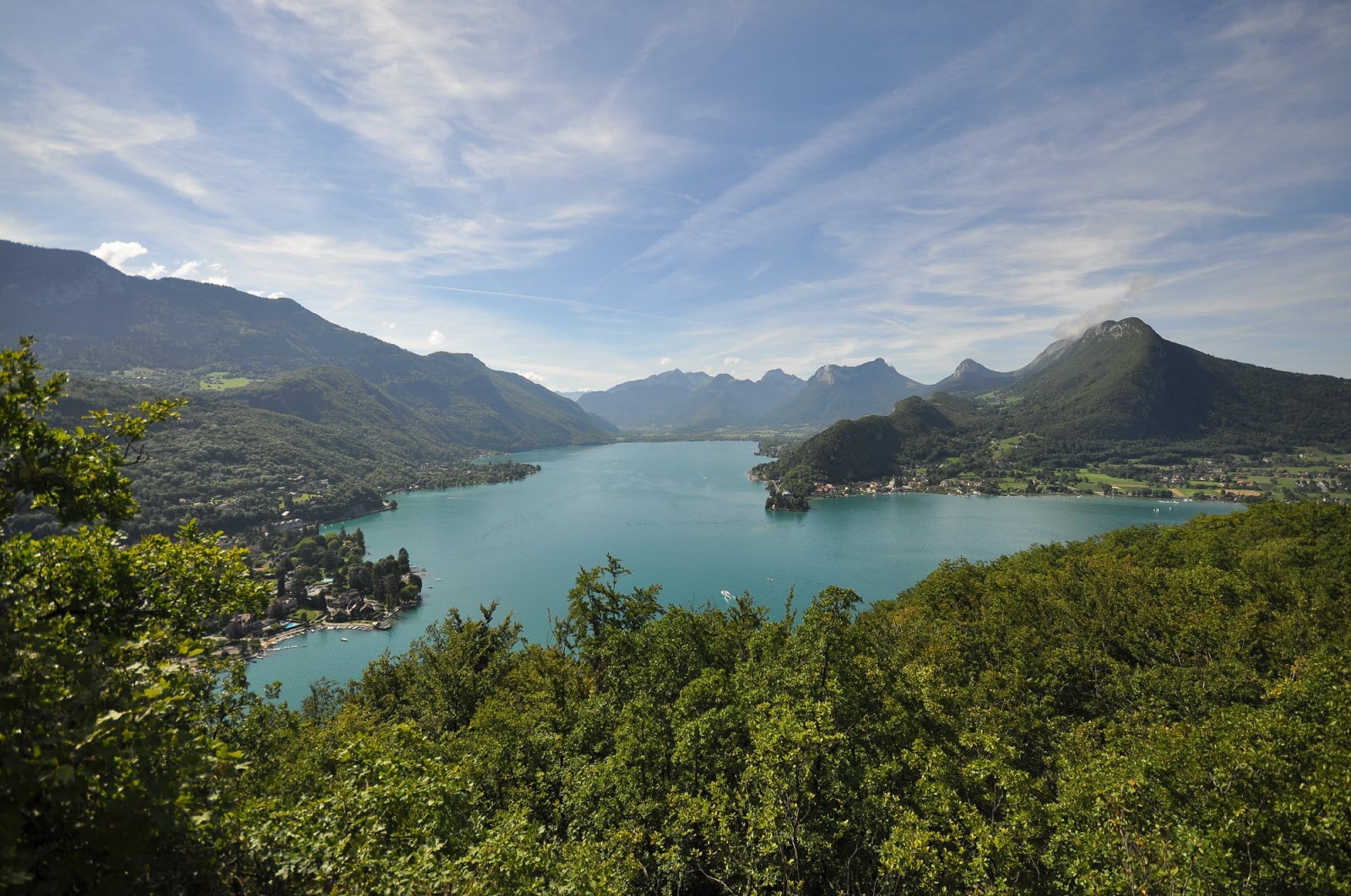
Loop walk that takes place mainly in the forest, which is appreciable in hot weather. Viewpoints let you see Annecy and its lake.

Already more than 200,000 users!
Uphill
441m
Highest point
897m
Downhill
441m
Lowest point
486m
Route type
Loop
Download the map on your smartphone to save battery and rest assured to always keep access to the route, even without signal.
Includes IGN France and Swisstopo.
I indicate whether dogs are allowed or prohibited on this trail
All year
1 rating
Also enjoy:

Already more than 200,000 users!