Uphill
863m
Length
10km
Duration
6h
Elev gain
863m
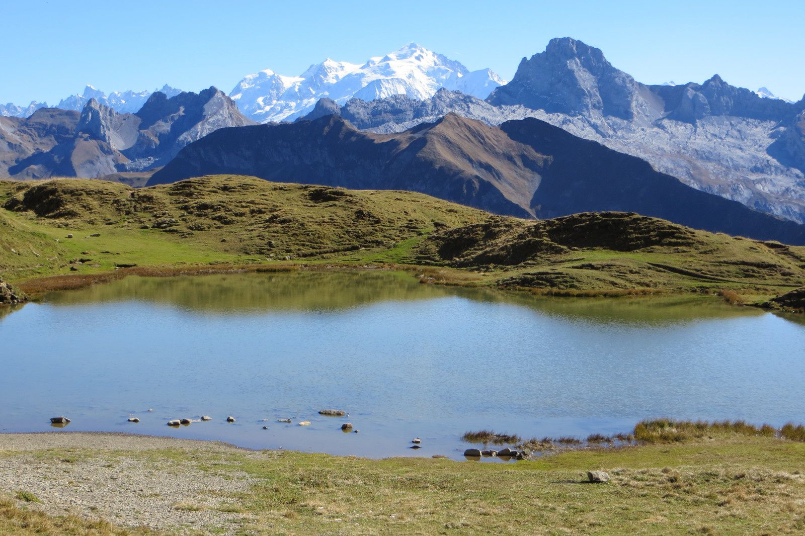
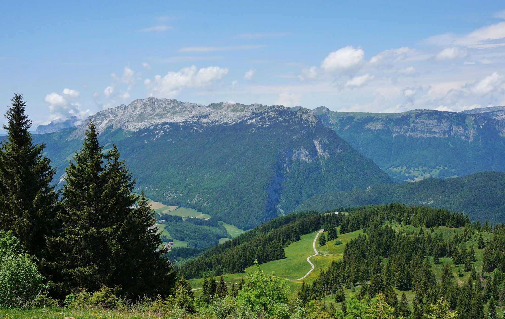
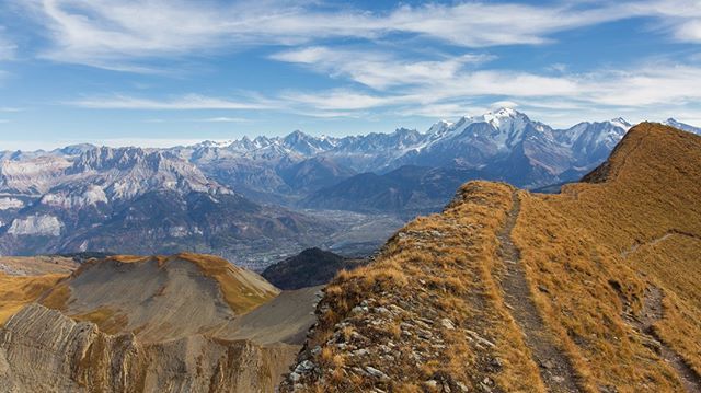
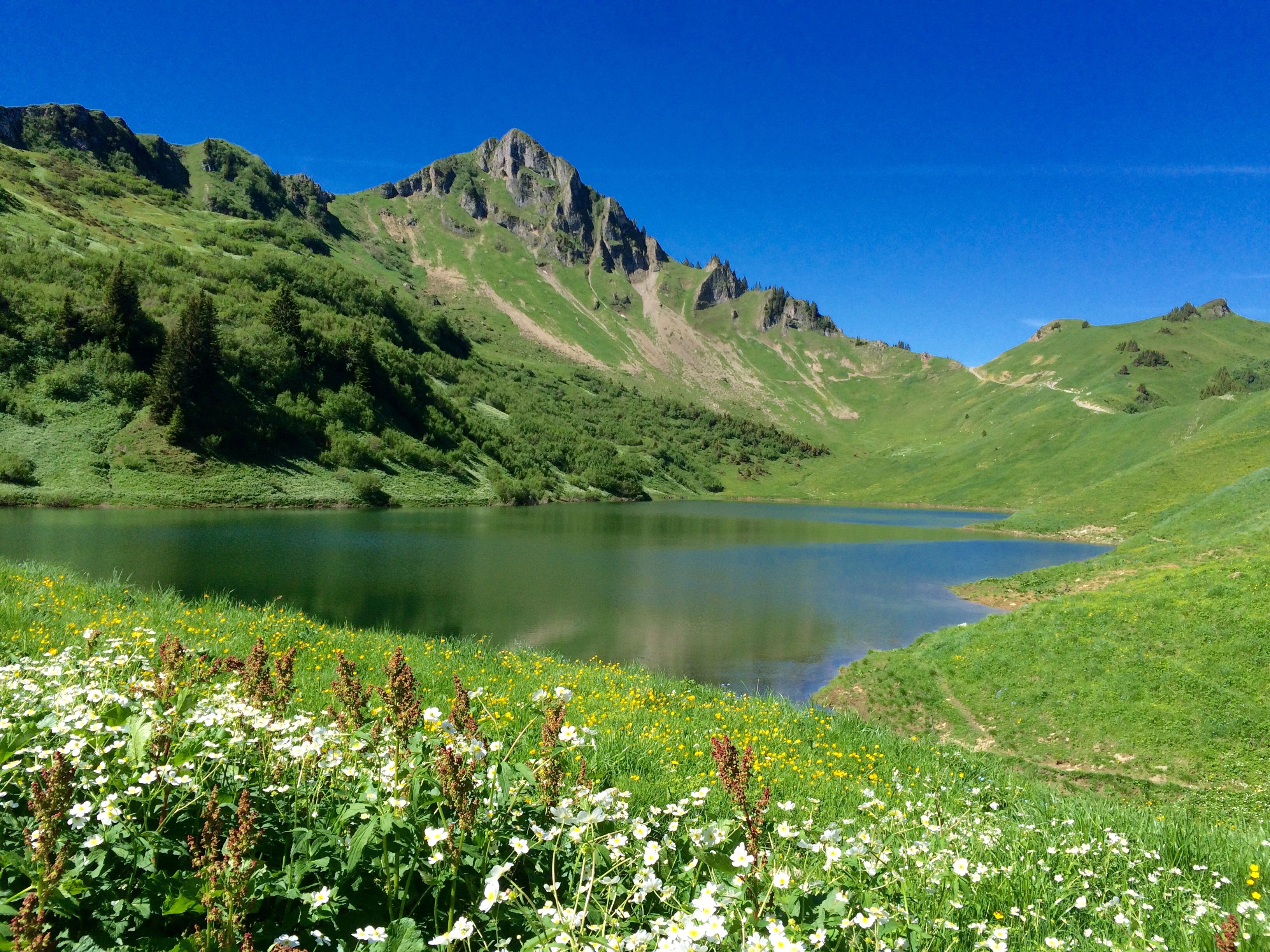
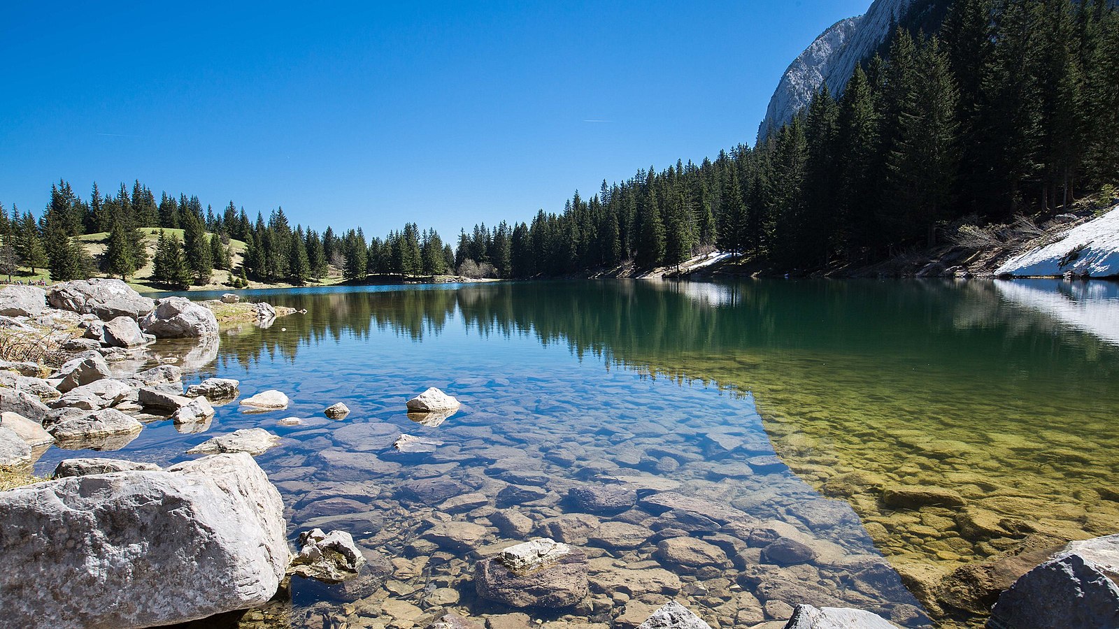
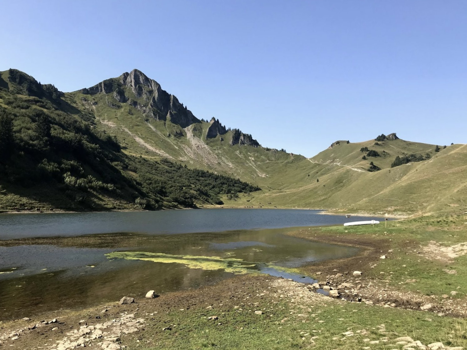
Ascent to Lac de Lessy and passage to the Aiguille Verte. This hike in the Aravis massif offers splendid views of the valley and the surrounding peaks. The climb to access the lake is a bit steep.

Already more than 200,000 users!
Uphill
863m
Highest point
2016m
Downhill
863m
Lowest point
1363m
Route type
Loop
Download the map on your smartphone to save battery and rest assured to always keep access to the route, even without signal.
Includes IGN France and Swisstopo.
Authorised on a leash
From May to September
0 ratings
Also enjoy:

Already more than 200,000 users!