Uphill
162m
Length
7km
Duration
2h
Elev gain
162m
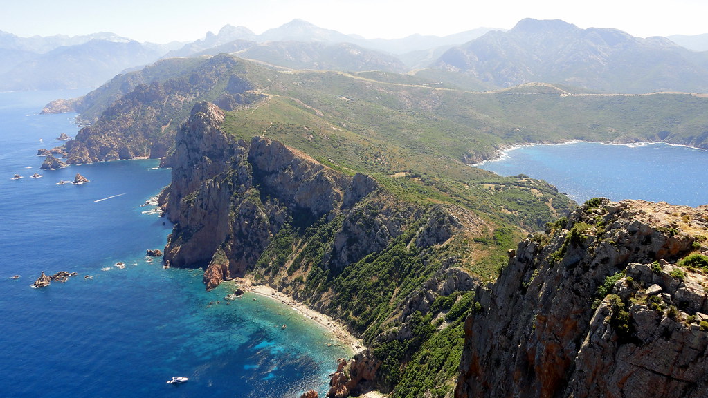
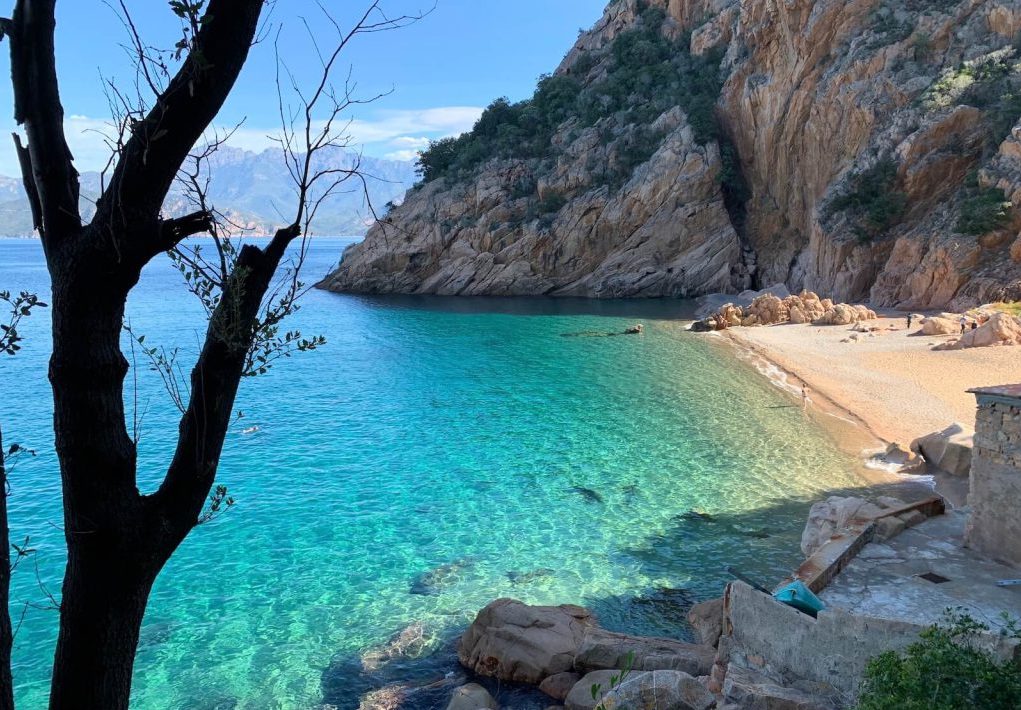
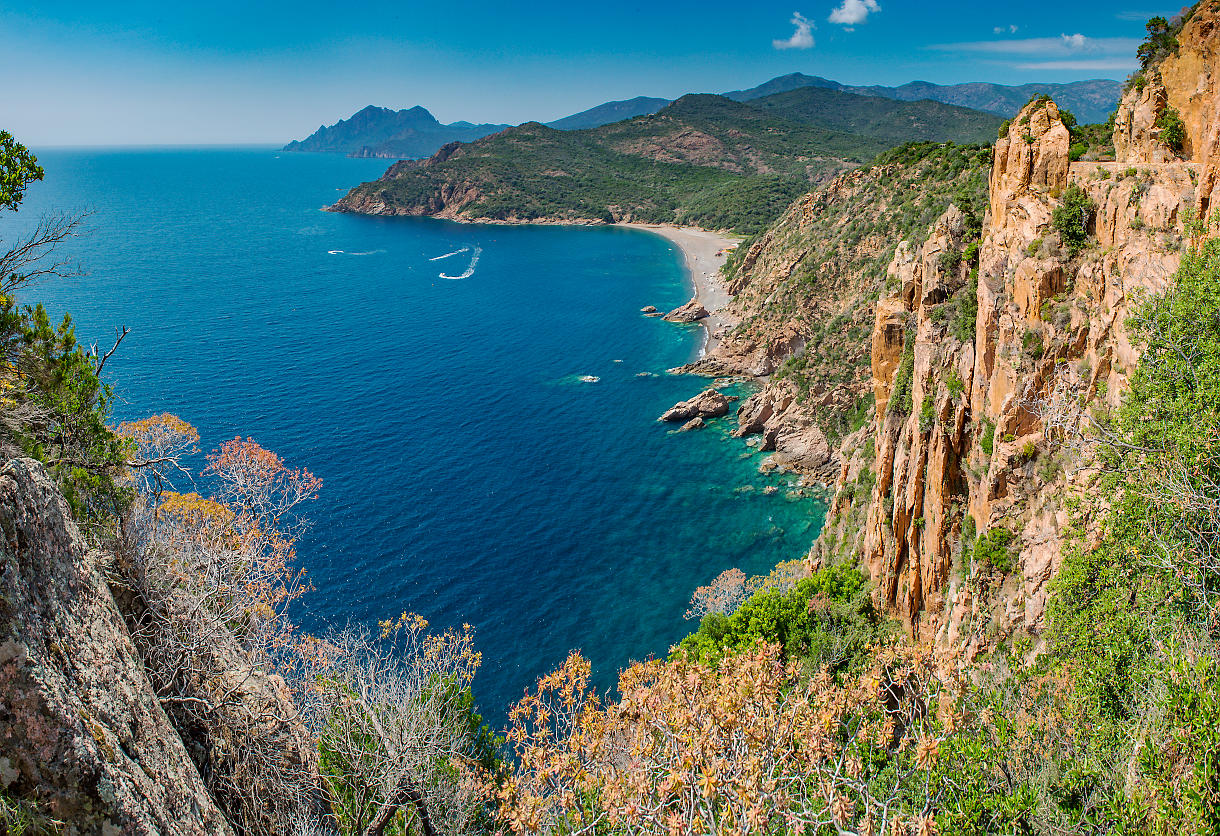
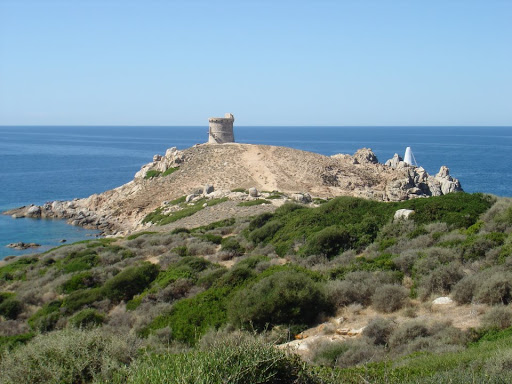
This route takes a coastal path around the Omigna peninsula, and allows you to discover its admirably well-restored Genoese tower. Nice views stretching from the Sanguinaires Islands to Capo Rosso.

Already more than 200,000 users!
Uphill
162m
Highest point
58m
Downhill
162m
Lowest point
0m
Route type
There and back
Download the map on your smartphone to save battery and rest assured to always keep access to the route, even without signal.
Includes IGN France and Swisstopo.
I indicate whether dogs are allowed or prohibited on this trail
All year
1 rating
Also enjoy:

Already more than 200,000 users!