Uphill
124m
Length
7km
Duration
2h
Elev gain
124m
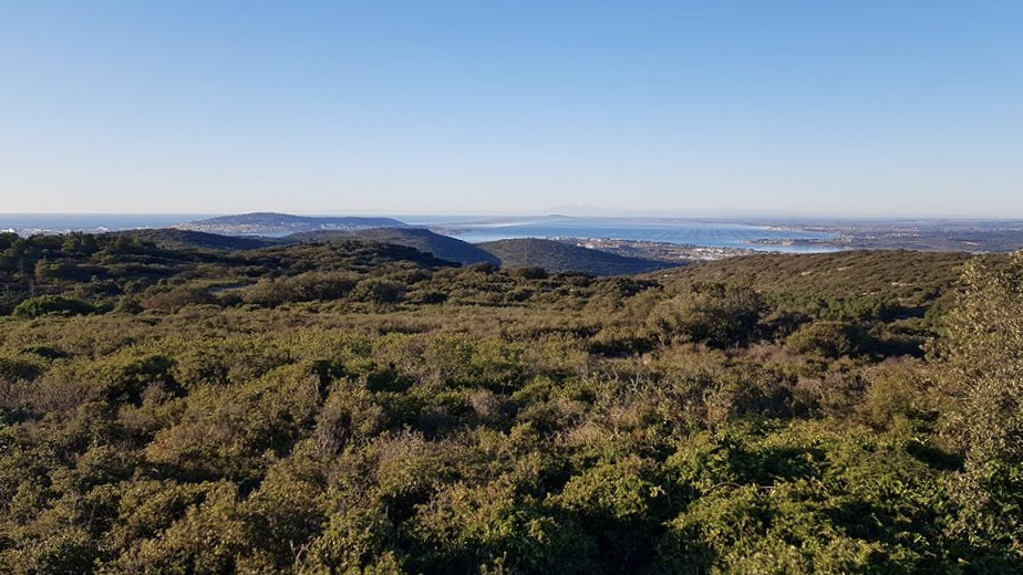
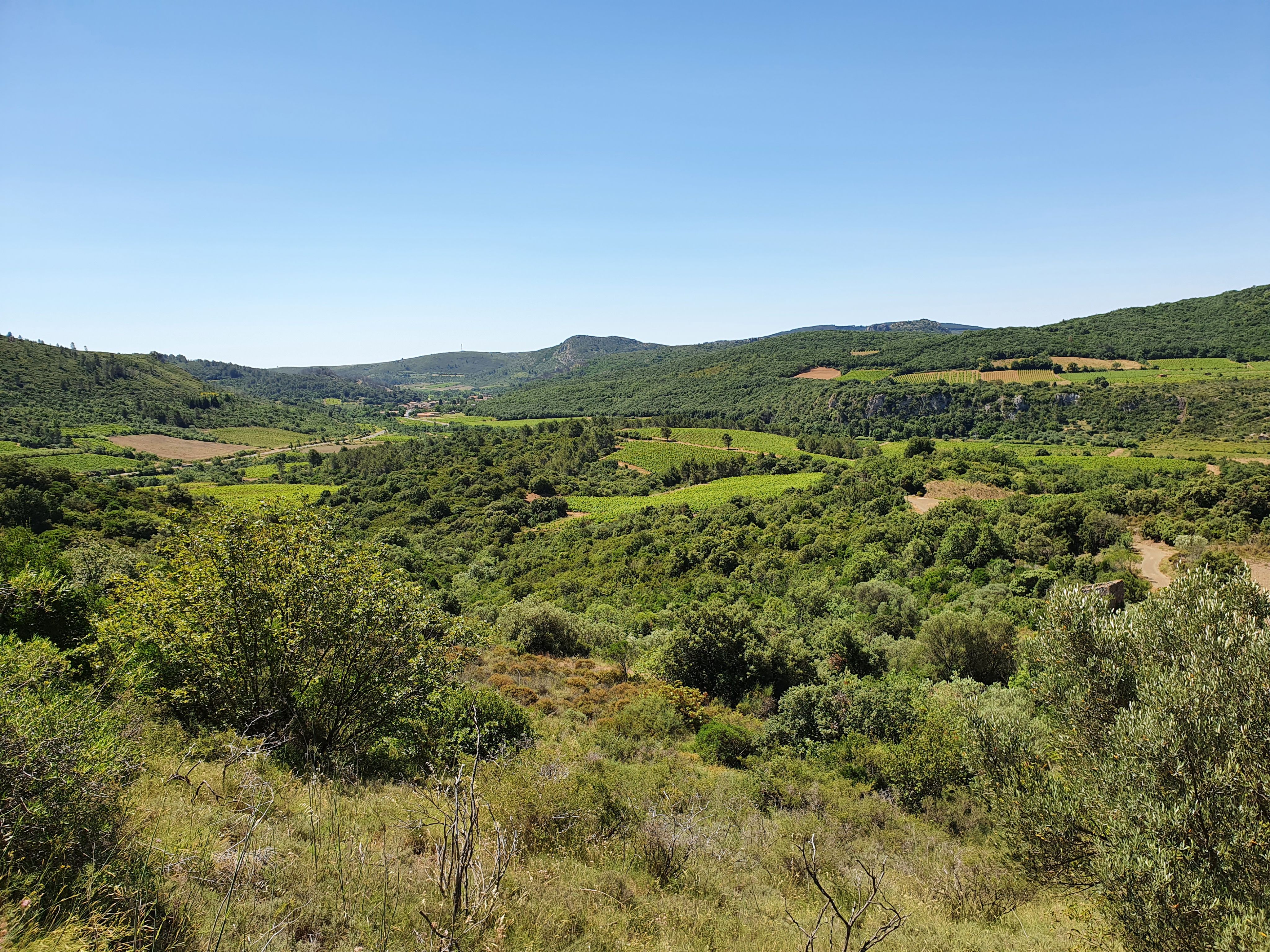
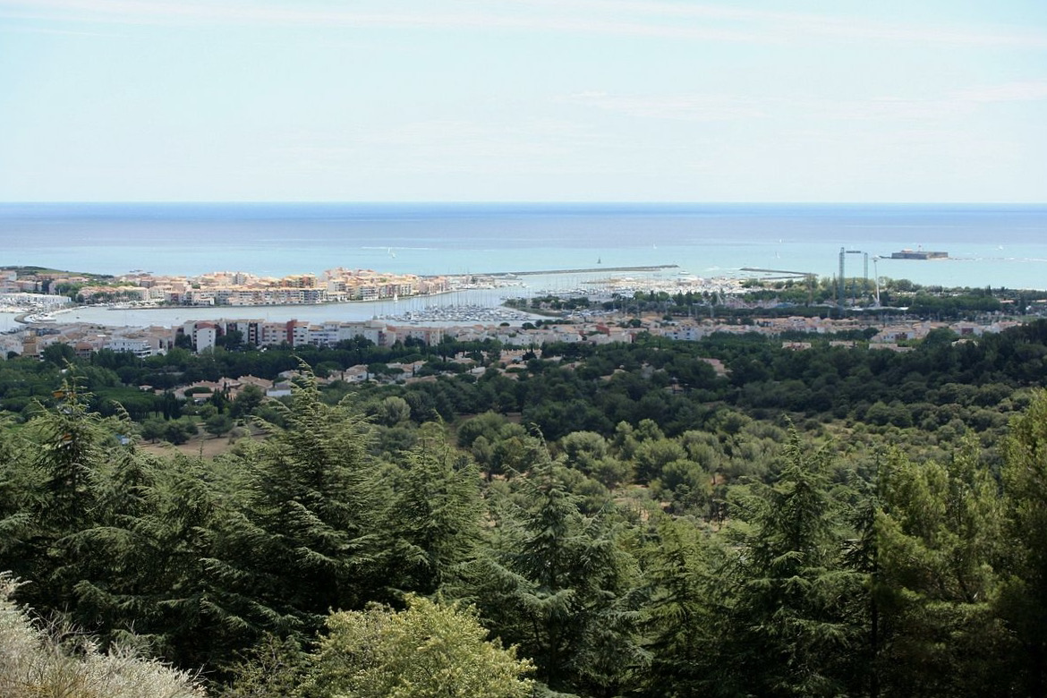
Looking for a little Sunday stroll? There it is. This walk leads to Mont Saint-Loup, where the 360° view of the lagoon and the coast is splendid.

Already more than 200,000 users!
Uphill
124m
Highest point
107m
Downhill
124m
Lowest point
5m
Route type
Loop
Download the map on your smartphone to save battery and rest assured to always keep access to the route, even without signal.
Includes IGN France and Swisstopo.
I indicate whether dogs are allowed or prohibited on this trail
All year
1 rating
Also enjoy:

Already more than 200,000 users!