Uphill
1101m

Length
12km
Duration
7h30min
Elev gain
1101m
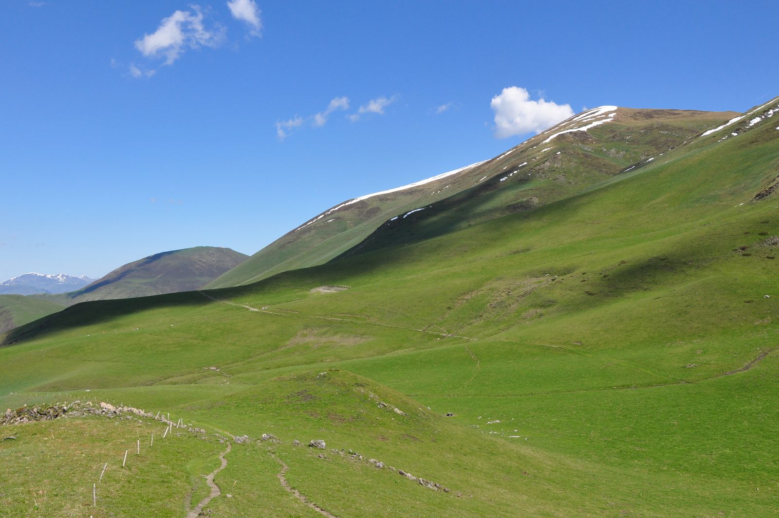
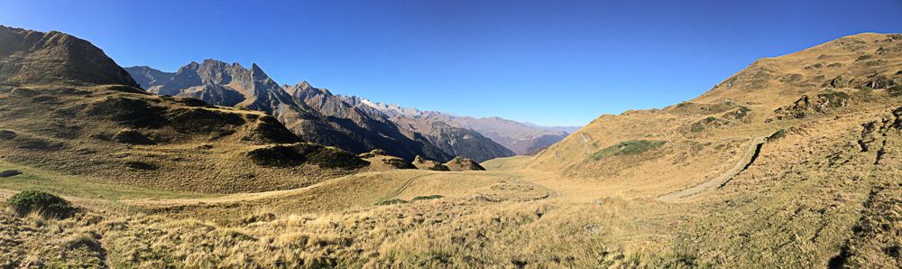
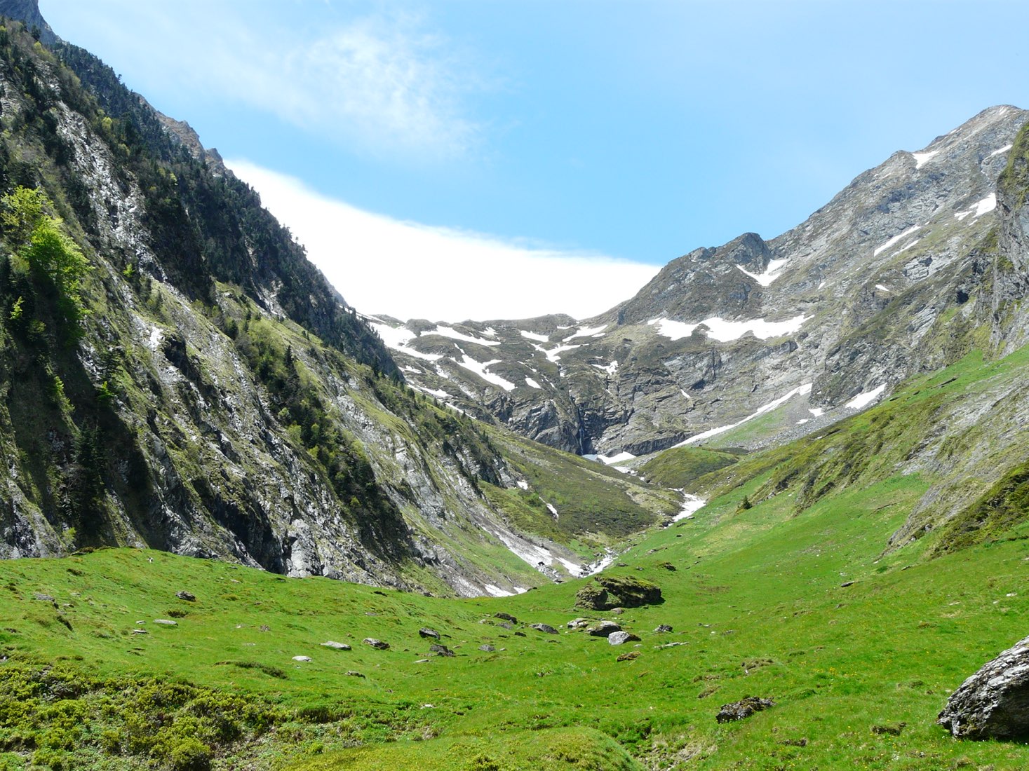
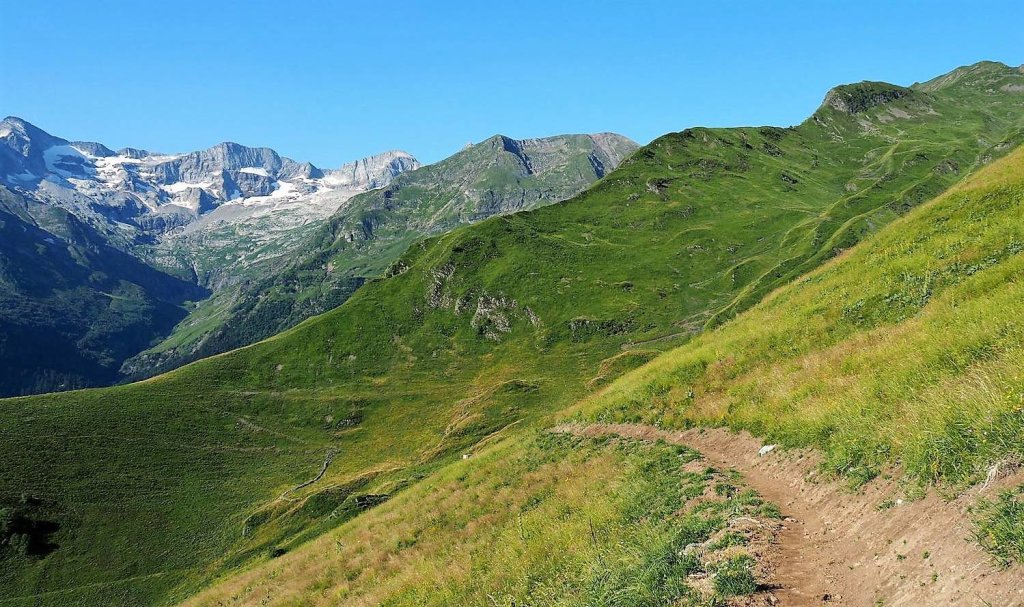
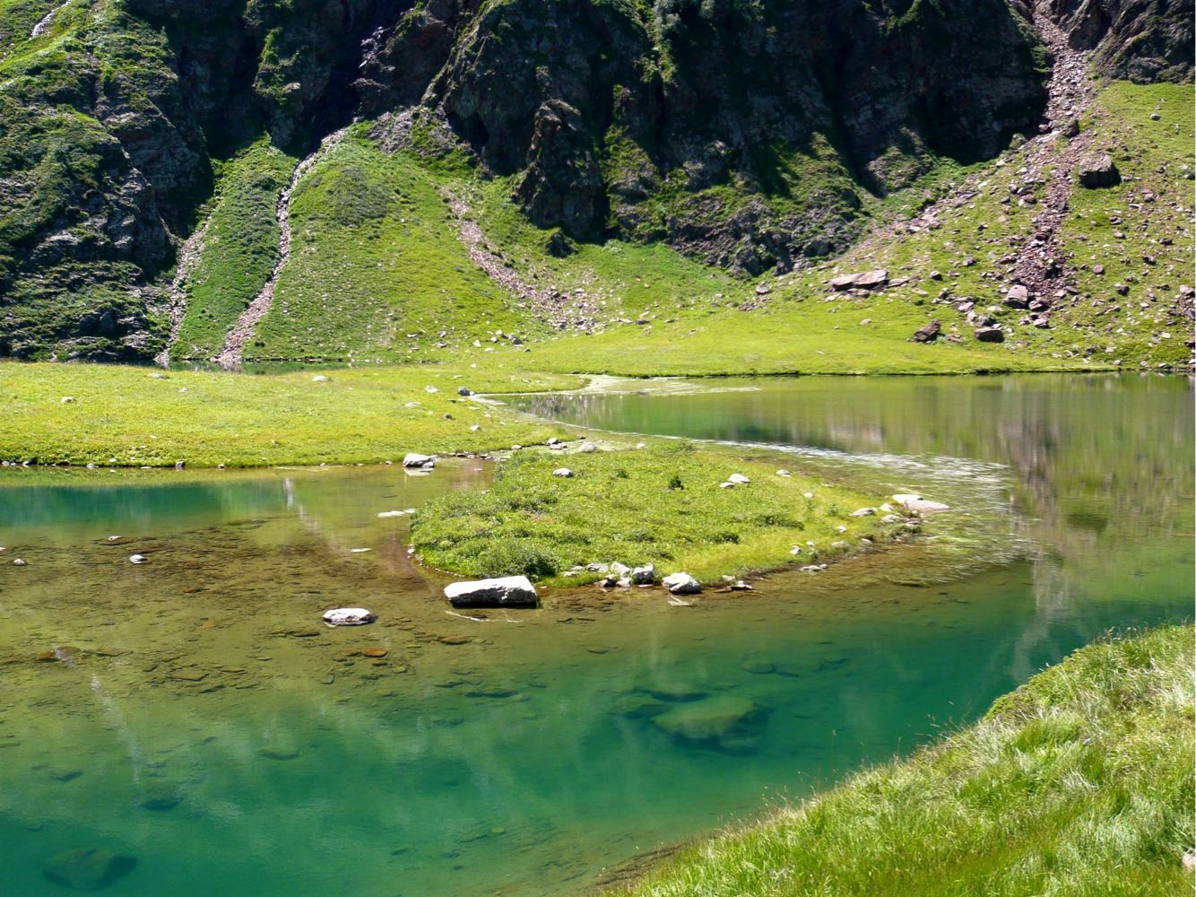
This is a challenging hike leading to the Col de l'Escalette, which offers a nice view of Spain. On the way out, the path passes next to the Frèche ponds, in a magnificent and wild setting.

Already more than 200,000 users!
Uphill
1101m
Highest point
2462m
Downhill
1101m
Lowest point
1373m
Route type
Loop
Download the map on your smartphone to save battery and rest assured to always keep access to the route, even without signal.
Includes IGN France and Swisstopo.
I indicate whether dogs are allowed or prohibited on this trail
From June to September
0 ratings
Also enjoy:

Already more than 200,000 users!