Uphill
103m
Length
2km
Duration
1h
Elev gain
103m
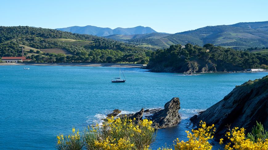
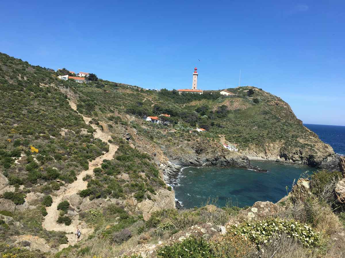
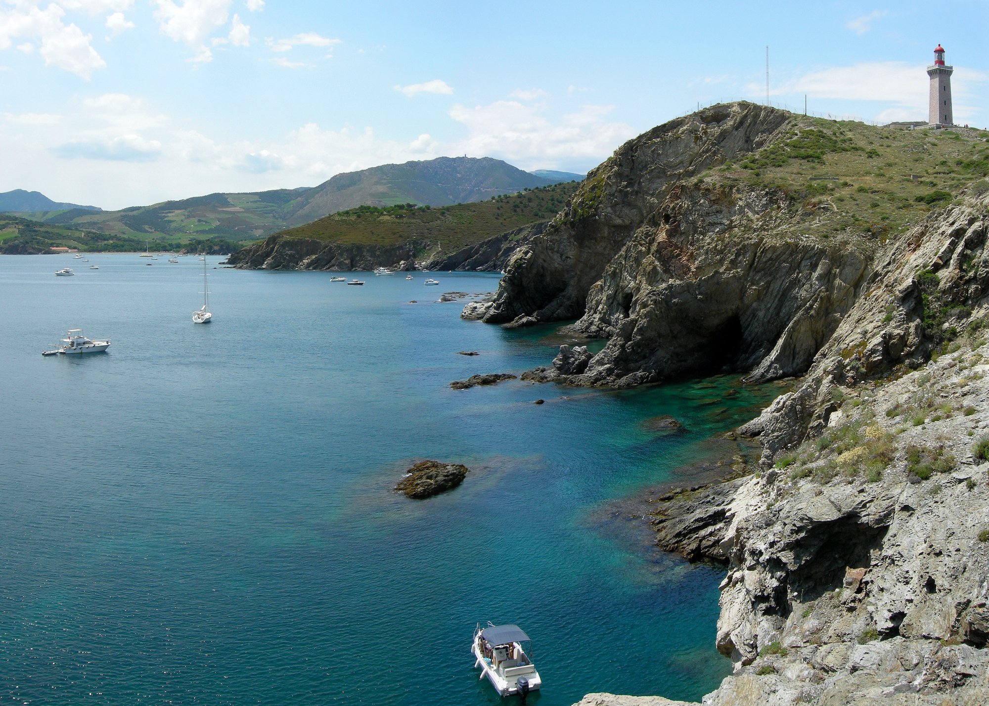
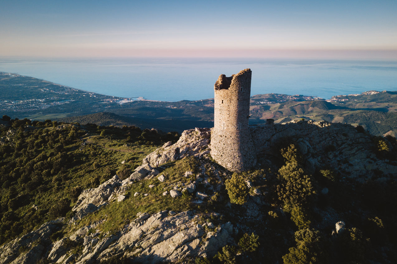
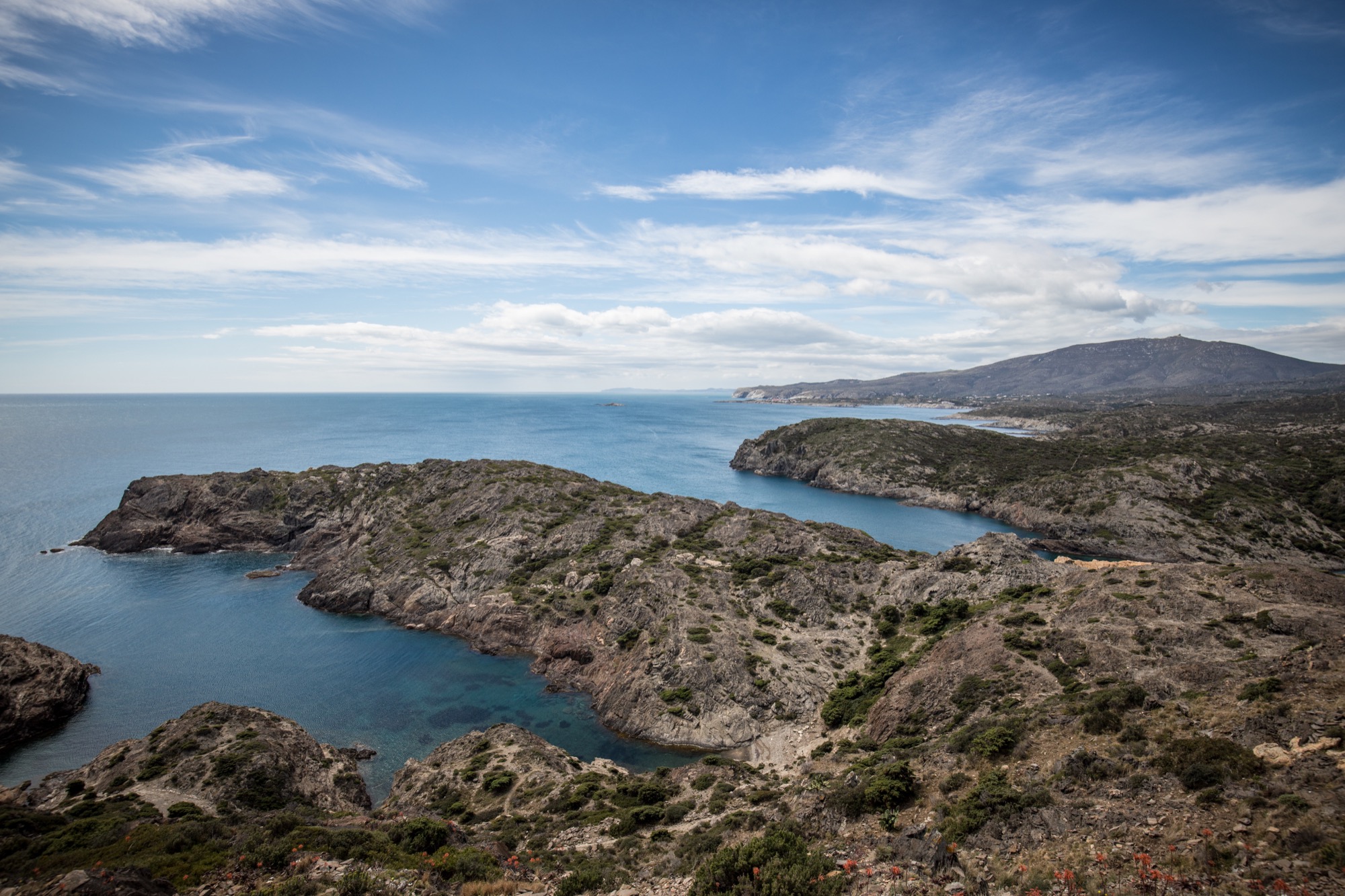
Short walk to Cap de Creus, the eastern end of the Albères massif and the Iberian peninsula. It is a steep promontory dominated by a lighthouse, facing the Mediterranean Sea.

Already more than 200,000 users!
Uphill
103m
Highest point
77m
Downhill
103m
Lowest point
0m
Route type
Loop
Download the map on your smartphone to save battery and rest assured to always keep access to the route, even without signal.
Includes IGN France and Swisstopo.
I indicate whether dogs are allowed or prohibited on this trail
All year
0 ratings
Also enjoy:

Already more than 200,000 users!