Uphill
315m
Length
6km
Duration
2h30min
Elev gain
315m
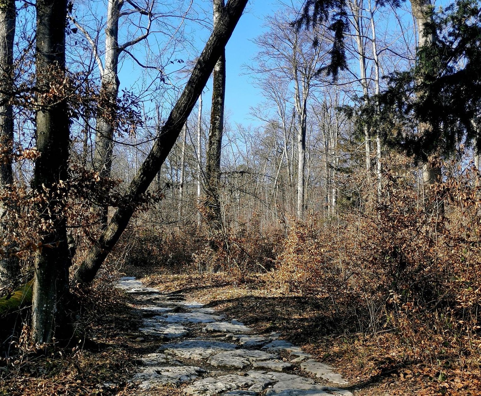
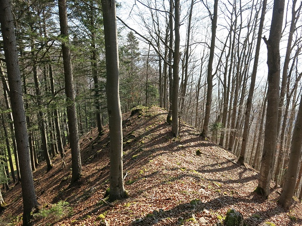
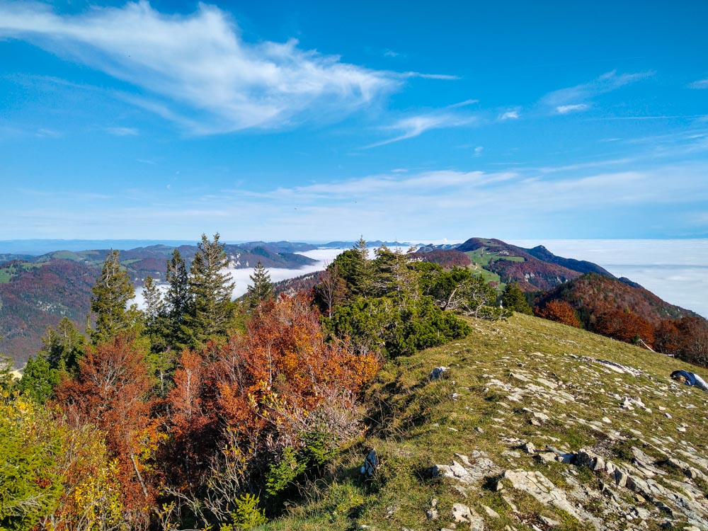
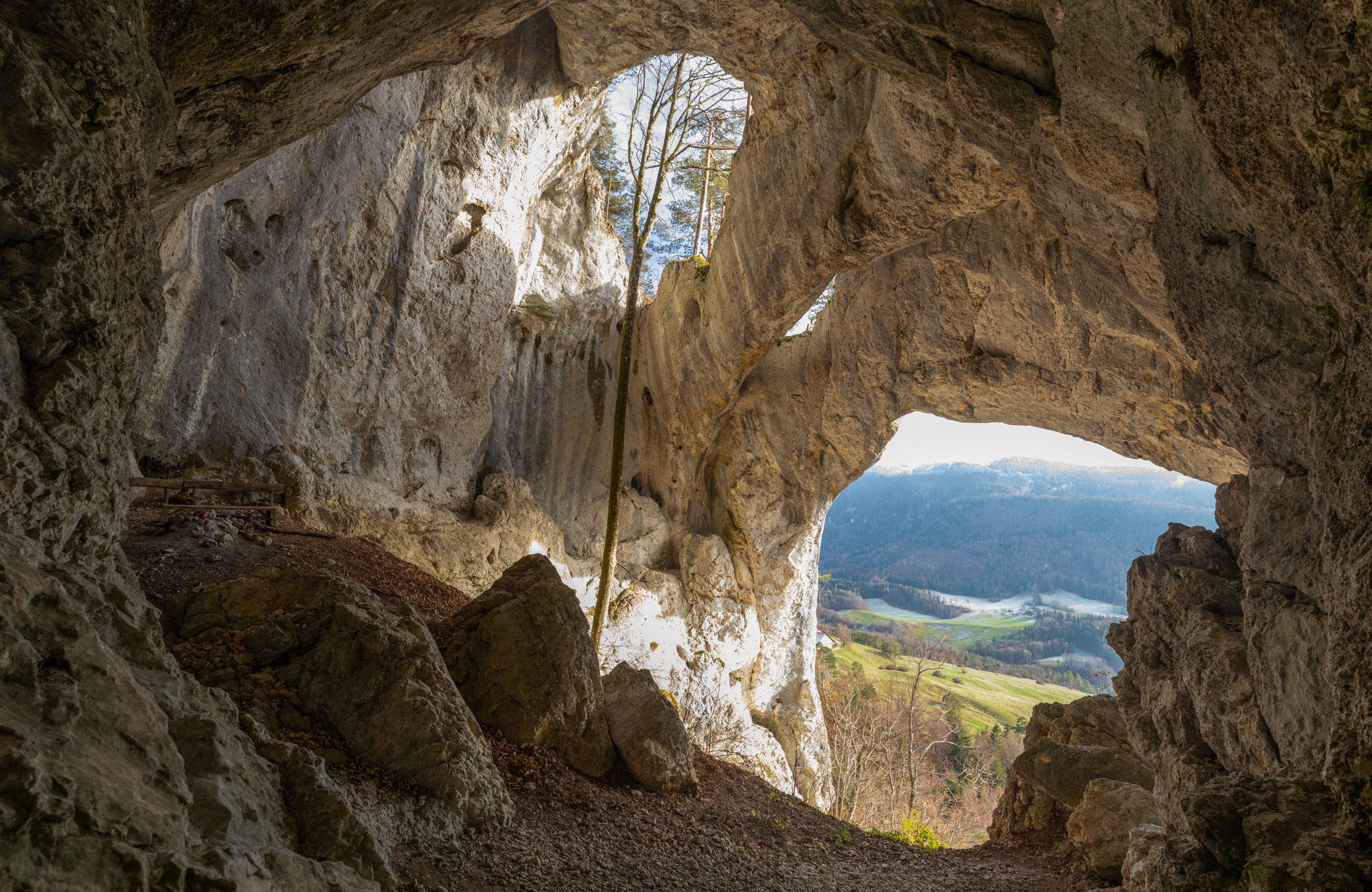
Departing from Welschenrohr, this hike leaves the village to reach meadows and woods until you reach the cave of Bärenloch. The final climb to the cave is somewhat steep and slippery and requires good concentration.

Already more than 200,000 users!
Uphill
315m
Highest point
933m
Downhill
315m
Lowest point
682m
Route type
There and back
Download the map on your smartphone to save battery and rest assured to always keep access to the route, even without signal.
Includes IGN France and Swisstopo.
I indicate whether dogs are allowed or prohibited on this trail
Can be difficult in Winter
0 ratings
Also enjoy:

Already more than 200,000 users!